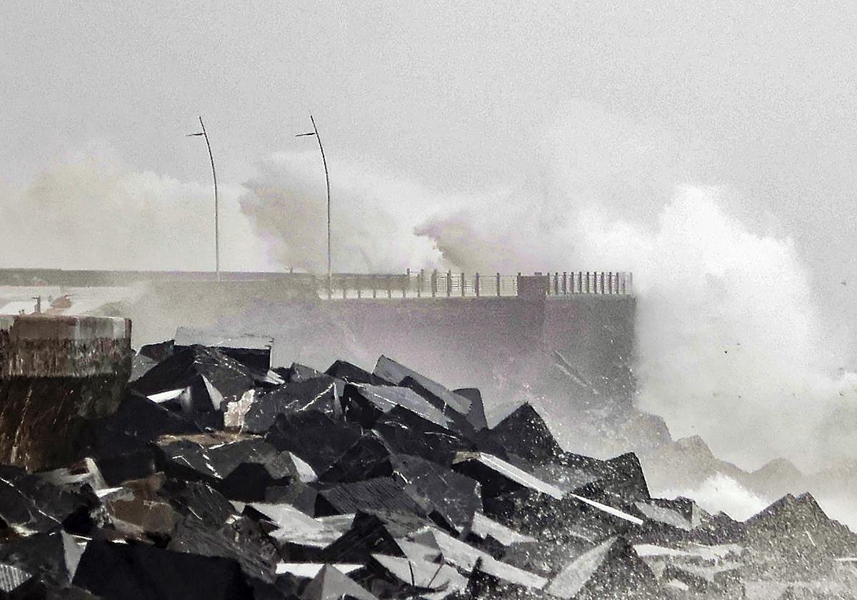
After Ciarán comes Domingos, a high-impact storm that will bring strong gusts of wind and rain to Spain over the weekend
State weather agency Aemet forecasts wind speeds could exceed 100 km/h in areas bordering the Mediterranean and also in the Balearic Islands
Europa Press
Malaga
Friday, 3 November 2023, 09:29
Storm Ciarán, considered by Spain's state weather agency (Aemet) as one of the "deepest to have visited Western Europe in the 21st century" after undergoing a process of explosive cyclogenesis, will give way this weekend to another high-impact storm christened Domingos.
Ciarán is passing over Western Europe leaving "very adverse" weather over large parts of the Iberian Peninsula, France, Belgium, the UK and Ireland, with gale-force winds, heavy rain and rough seas.
In Spain, up to midday on Thursday, it has left gusts of 151 kilometres per hour in the ski resort of La Pinilla (Segovia) and in Estaca de Bares (La Coruña); Güeñes (Vizcaya), 134 kilometres per hour. In provincial capitals, almost hurricane-force gusts have also been reached, such as the one at the Higuel observatory (San Sebastián), with 115 kilometres per hour, according to Aemet.
Ciarán' will continue to bring adverse weather during this Friday morning, with very strong gusts of wind, in excess of 90 to 100 kilometres per hour, in the northern and eastern third of the Spanish mainland, especially on the coast and in mountain areas, where some gusts could become hurricane force. Waves of over eight metres are expected in the Galician Atlantic and the Cantabrian coast. Stormy weather is also expected in the Mediterranean, with waves that could occasionally exceed five metres in height.
With regard to rainfall, Aemet forecasts that the heaviest rainfall will continue in Galicia and the Cantabrian regions.
Domingos, the fourth storm of the season
From Saturday onwards, the effect of Domingo, the fourth storm of the season, will begin to be felt. It will circulate between the Iberian Peninsula and the British Isles and its effects will be felt especially on Saturday in the form of wind, with very strong gusts of 70 or 80 kilometres per hour in a large part of the northwest of the Spanish mainland, the Mediterranean areas and the Balearic Islands, with gusts of over 100 kilometres per hour in coastal and mountain areas.
Domingos will also cause a significant sea swell, with waves that could reach or exceed seven or eight metres in the Galician Atlantic and the Cantabrian Sea and four or five metres in the Mediterranean.
On Saturday it will also rain in a large part of the mainland, except in the Mediterranean area and the Balearic Islands. Specifically, the heaviest and most persistent rains will occur in Galicia and nearby areas, as well as in the Central Pyrenees and in the western area of the western Central system, that is, in the north of the province of Cáceres and the south of the provinces of Salamanca and Ávila.
Regarding temperatures, Aemet expects them to rise throughout Spain on Saturday because the winds associated with Domingos will be milder, so that the snow level will also rise to 1,500 to 1,700 metres.
Domingos will move away on Sunday but it will continue to rain in Galicia, west of Castilla y León and mountainous areas without ruling them out in points of the plateau. The wind will continue to blow but not as strong as on Saturday.
As for next week, Aemet expects that anticyclonic weather will prevail, more stable and with rainfall limited to Galicia and the Cantabrian regions, while in the rest of the country clearer skies will predominate, although with lower temperatures and the first night frosts are expected outside mountain areas. Specifically, it may freeze in the northern plateau and central Paramos in the first days of next week.
With regard to the Canary Islands, Aemet forecast that the trade wind regime will continue and the archipelago will remain unaffected by this adverse weather, although some rain is expected in the north of the more mountainous islands and temperatures are expected to remain unchanged.
