Yellow risk weather alerts activated along the whole of the Costa del Sol, due to force 7 winds and high waves
In addition to Malaga province, there will be similar warnings for coastal phenomena in Granada and Almeria from 2pm in the afternoon

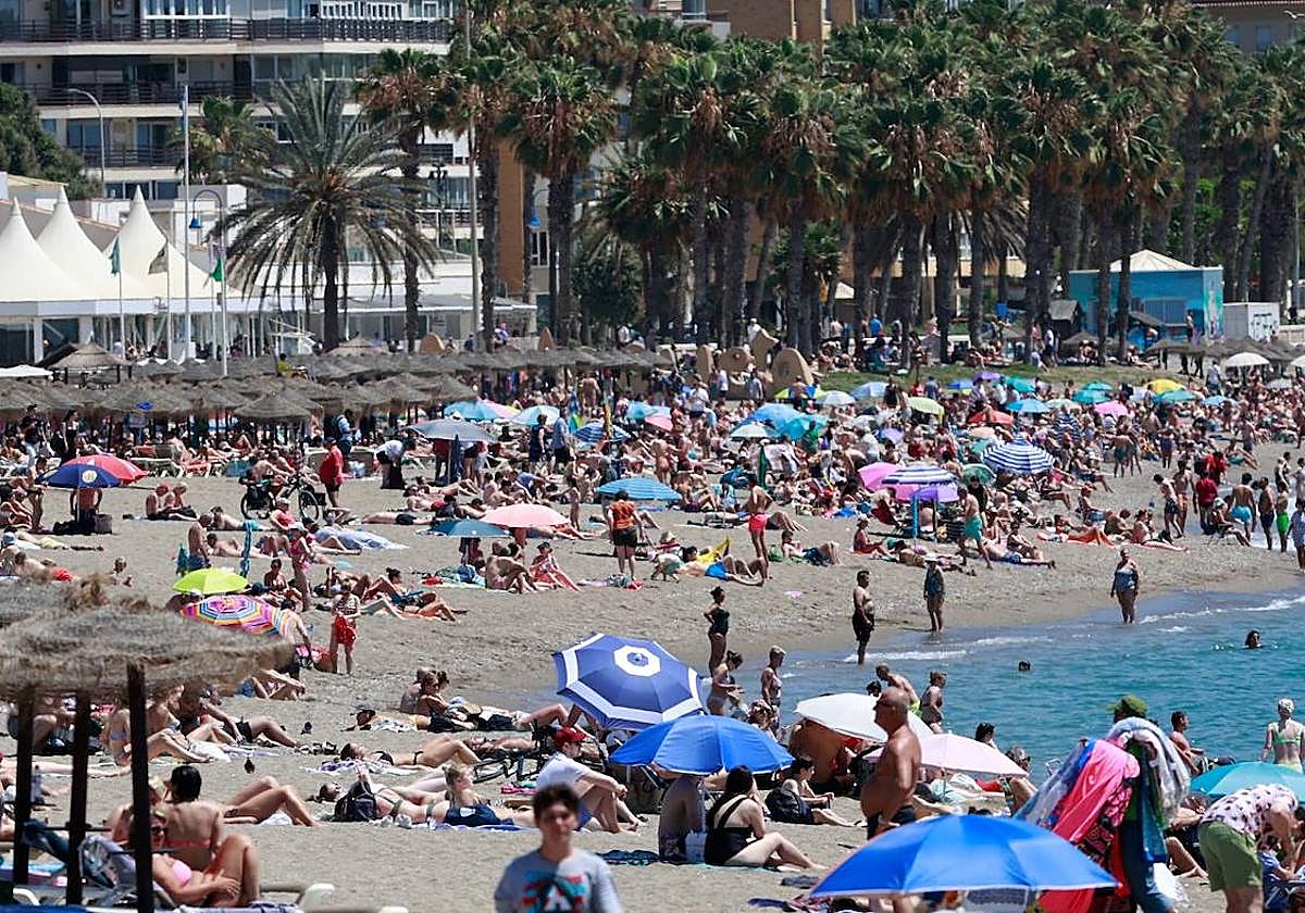
A yellow risk warning for the entire coastline of the Costa del Sol will activated today, Tuesday. Spain's state meteorological agency (Aemet) has activated the warnings, which will affect the Sol (which includes Malaga city), and Guadalhorce zones. The warnings will be in force from 2pm to midnight, during which time winds from the west and southwest are expected to reach 50 to 60 kilometres per hour (force 7) with waves of 2 to 3 metres high.

Related article
Daily weather forecast for the Costa del Sol and Malaga province
The forecast for this 13th June predicts partly cloudy skies, with intervals of low clouds and morning mist inland. Winds will be westerly, with strong intervals on the coast in the afternoon. Maximum temperatures will decrease in inland areas and will remain unchanged in other areas. Malaga city, the capital of the Costa del Sol, will record the highest values: with a maximum of 32C degrees and a minimum of 22 degrees, and the rest of the province will see temperatures close to 30 degrees.
In addition to Malaga province, there will also be yellow risk warnings for coastal phenomena in Granada and Almeria from 2pm in the afternoon, with winds from the west and southwest with a speed of 50 to 60 kilometres per hour and force seven, as well as waves of two to three metres in height.

Zoom
As for the rest of the country, Aemet forecasts, a day of partly cloudy skies with intervals of morning low clouds and mist on the Atlantic slope, with probable showers in the eastern half that may be accompanied by thunderstorms in the northeastern mountain ranges.
Maximum temperatures will decrease in the eastern interior and central regions, with little change in the rest.