Take a hike through a 'magic forest' to enjoy the stunning views from Malaga's Monte Victoria
This interesting route passes through dozens of carved eucalyptus trees to reach the viewpoint quirkily named 'a pleasure to meet me'
This is a linear route that has not been designated with an approved route ID, but it is a simple and very popular trail through the Monte Victoria forest park.
Route data
Province: Malaga
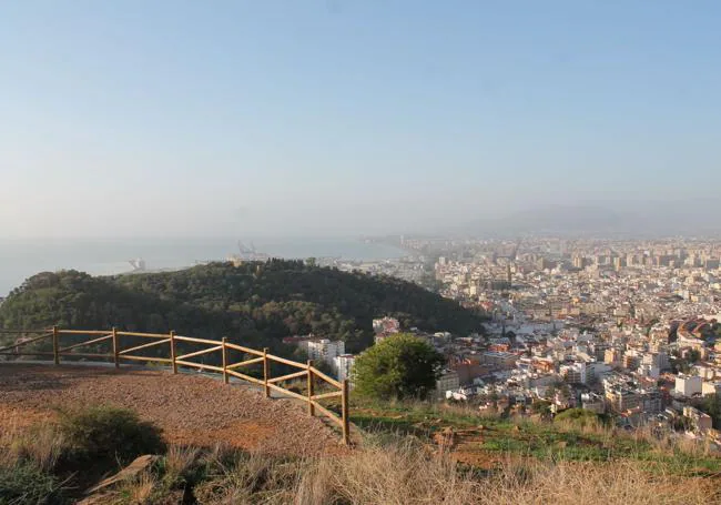
Municipality: Malaga city
Difficulty level: Low. The first part of the path has a slight ascent, but in the second half of the route there is a much steeper ascent, which eases off as the path zigzags. The most difficult aspect of the route, however, is finding your way along a path that is not signposted.
Type of route: Linear
Approximate duration: 50 minutes (one-way)
Length: 1.4 kilometres (one-way).
Minimum elevation: 47 metres
Maximum elevation: 190 metres
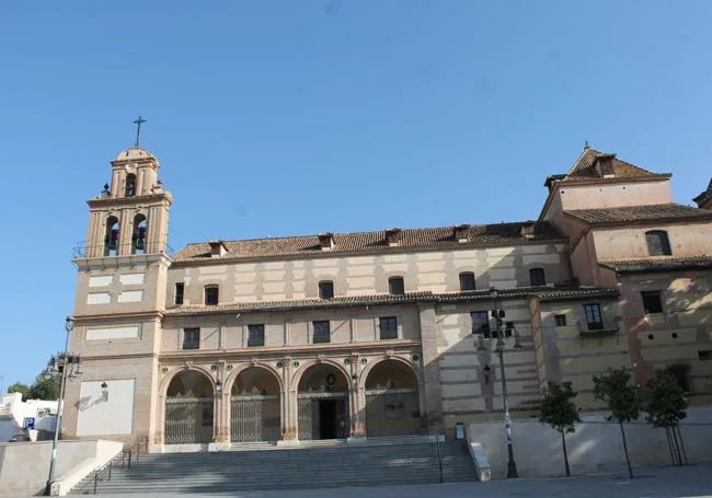
Nearby places of interest: Bosque Mágico (the 'magic forest' with carved eucalyptus tree trunks), viewpoint 'Un placer conocerme' (a pleasure to know me), Santuario de la Victoria (a large, 17th-century baroque church), Ermita del Monte Calvario (a hilltop chapel with city and bay views), the facades of old houses in Calle Conde Ureña and Parque Alfonso XII and the castle on Mount Gibralfaro.
-
How to reach the starting point
The starting point for this route is on Calle Amargura. Specifically, on the north side of this cul-de-sac, you will find the first signpost for the Monte Victoria forest park and also the first carved eucalyptus tree trunks. To get there you can go by private car and try to park in the surrounding streets, which is not usually an easy task. Nowadays, there are alternatives to arrive by public transport as the EMT bus company has several lines with stops in nearby streets (the 36, 37 and C2 (circular).
-
Route description
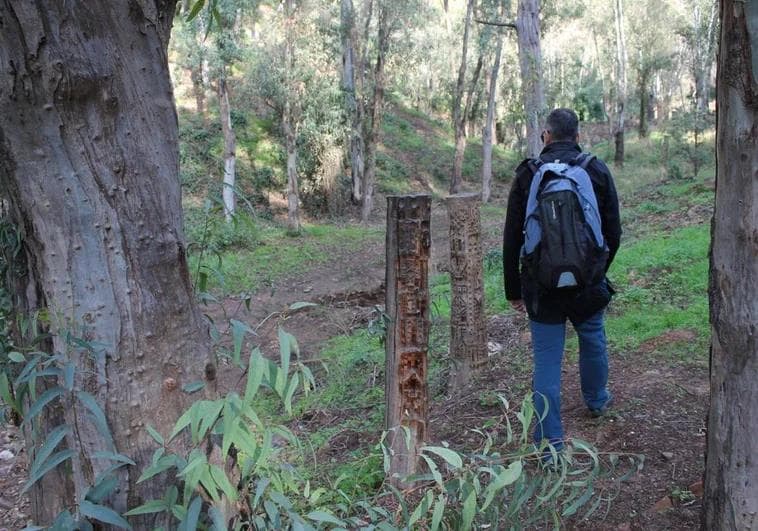
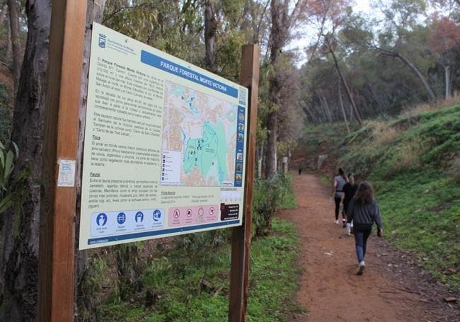
1This route starts at the entrance located in the southern part of the Monte Victoria forest park, a forest of just over thirty hectares. Before you see the sign describing this place, you will see the first carved eucalyptus trees. A local resident has been shaping these dry treetrunks that have been cut in this part of the parkland for years. He has done this work out of pure altruism, giving a second life to some of these trees, which have become the main motivation for many people to visit this location as there are around two dozen of them spread over a stretch of just over 200 metres. This is how the nickname of 'Magic Forest of Malaga' came into being.
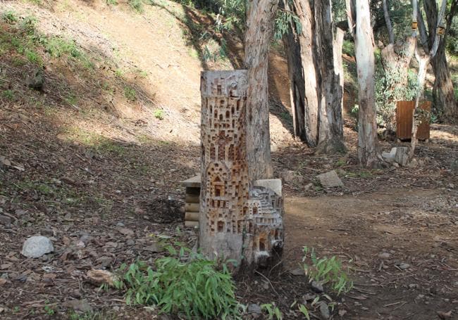
2The first part of the path runs alongside these carved stumps along a wide, slightly ascending path that connects with an asphalt road that links the district of La Victoria with the Almendrales path. Before this path, however, it passes by an area where it is possible to take a break (there are benches set up for this purpose) and there is a children's playground similar to those found in other woodlands in Malaga city.
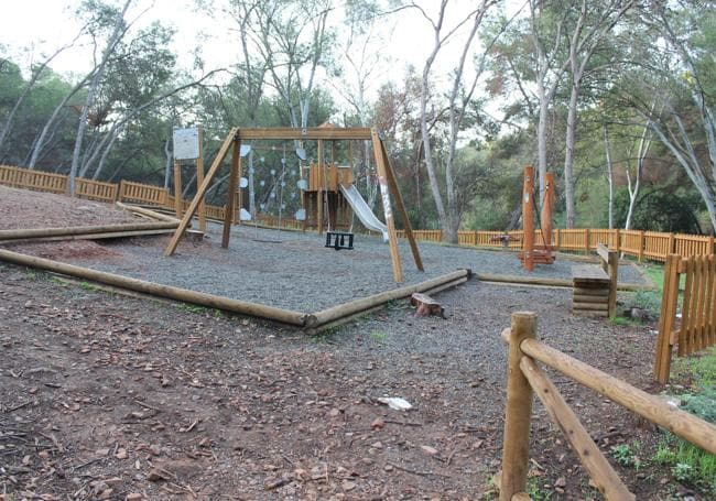
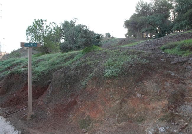
3After leaving this rest and recreation area behind, the trail climbs up to the aforementioned asphalted lane, which is a winding road. Motor vehicles and bicycles can use it, so take care. Follow this small road for about 300 metres until you see the signposting for the ascent up to the viewpoint 'Un placer conocerme', just before reaching the path to Los Almendrales.
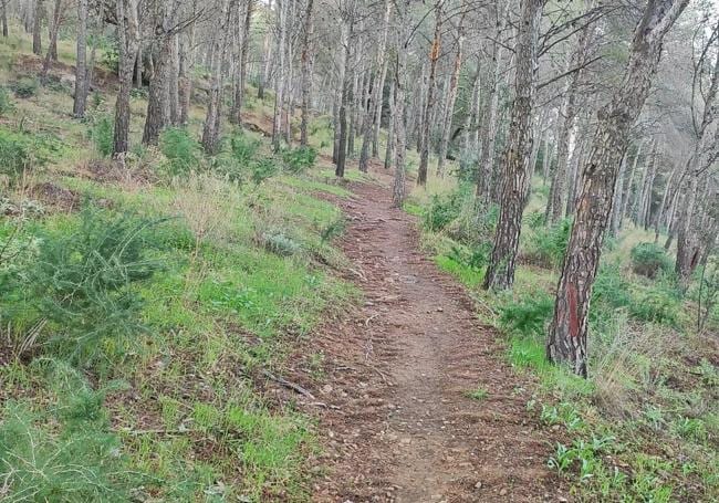
4From the signpost at the viewpoint, from this point onwards you have to climb along a narrow, ascending path through a leafy pine forest. There are hardly any trail signs, so you will have to use your intuition or a route app. In any case, the climb takes you up in the vicinity of the telecommunications antennae that crown Mount Victoria. The paths leading up are narrow and do zigzag a bit, which makes it easy to compensate for the effort of the climb. After almost half a kilometre through the forest, you will reach a high point near the antennae from where you can begin to see the first panoramic views of Malaga city.
5The narrow path connects, after skirting round all the antennae, with the viewpoint known today as 'A pleasure to meet me', from where you will have a panoramic view of the city. This wide view goes from part of the eastern area or Monte Gibralfaro to the historic centre and many of the suburbs, as well as giving you as a backdrop the Churriana mountain range and the Mediterranean Sea. After enjoying the views it will be time to head back down. You have options to retrace your steps or to extend this walk much further by connecting via another narrow path to El Limonar, Monte Gibralfaro or even to other areas of the historic centre of Malaga.
Flora and fauna
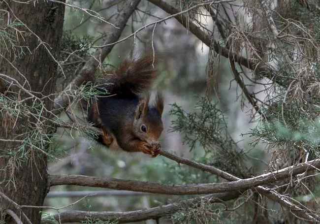
This green space is the result of a reforestation exercise carried out in the 1940s, in such a way as to slow down land erosion. Also known as the San Cristóbal or Tres Letras hill, it has a biodiversity similar to that of other pine groves in the city, such as those of Gibralfaro and El Morlaco. Red squirrels (only in the pine trees), shrews, hedgehogs and field mice, among other mammals, can be spotted here. Between spring and autumn you can see various reptiles, such as chameleons and snakes. As far as birdlife is concerned, there have been sightings of blackbirds, hoopoes and wheatears, as well as owls and booted eagles. In addition to the aforementioned pine forest, there is a leafy area of eucalyptus trees and a varied Mediterranean scrubland, which includes wild asparagus, fan palms, rockrose, broom and even some ferns.
