Hiking in Malaga province
Cueva de Nerja-Almijara: a hiking trail that starts at the entrance of the famous cave and offers breathtaking views
There are numerous information panels along the route about the natural park and the cave complex itself

Nerja
This circular route that begins and ends at the Nerja Cave is a Blue Trail which was recognised by the association for environmental and consumer education (ADEAC) in January 2024.
-
Route data
Area: Axarquía
Municipality: Nerja
Difficulty level: Low. Although almost half of the route is uphill and on a narrow path, there are no steep climbs. The route also has several rest areas where you can stop to enjoy the scenery.
Type of route: Circular
Approximate duration: 45 minutes
Length: 2.2 kilometres
Minimum height: 150 metres
Maximum altitude: 261 metres
Nearby places of interest: Nerja cave, Detunda Botanical Garden, San Isidro Labrador chapel, Aguila aqueduct, Torre de Maro, Balcón de Europa, Maro village, Nerja museum, Maro cliffs and San Salvador church.
-
How to get to the starting point
The starting point for this route is next to the entrance to the Nerja cave, located very close to the coastal village of Maro. It is not necessary to pay the entrance fee to the cave to get to the start point for the walk, although the first few metres are inside the grounds of the cave entrance, which has opening hours (usually between 9.30am and 4pm depending on seasonal opening hours).
Parking is available at the cave (two euros) or just outside the perimeter fence for one euro.
-
Route description
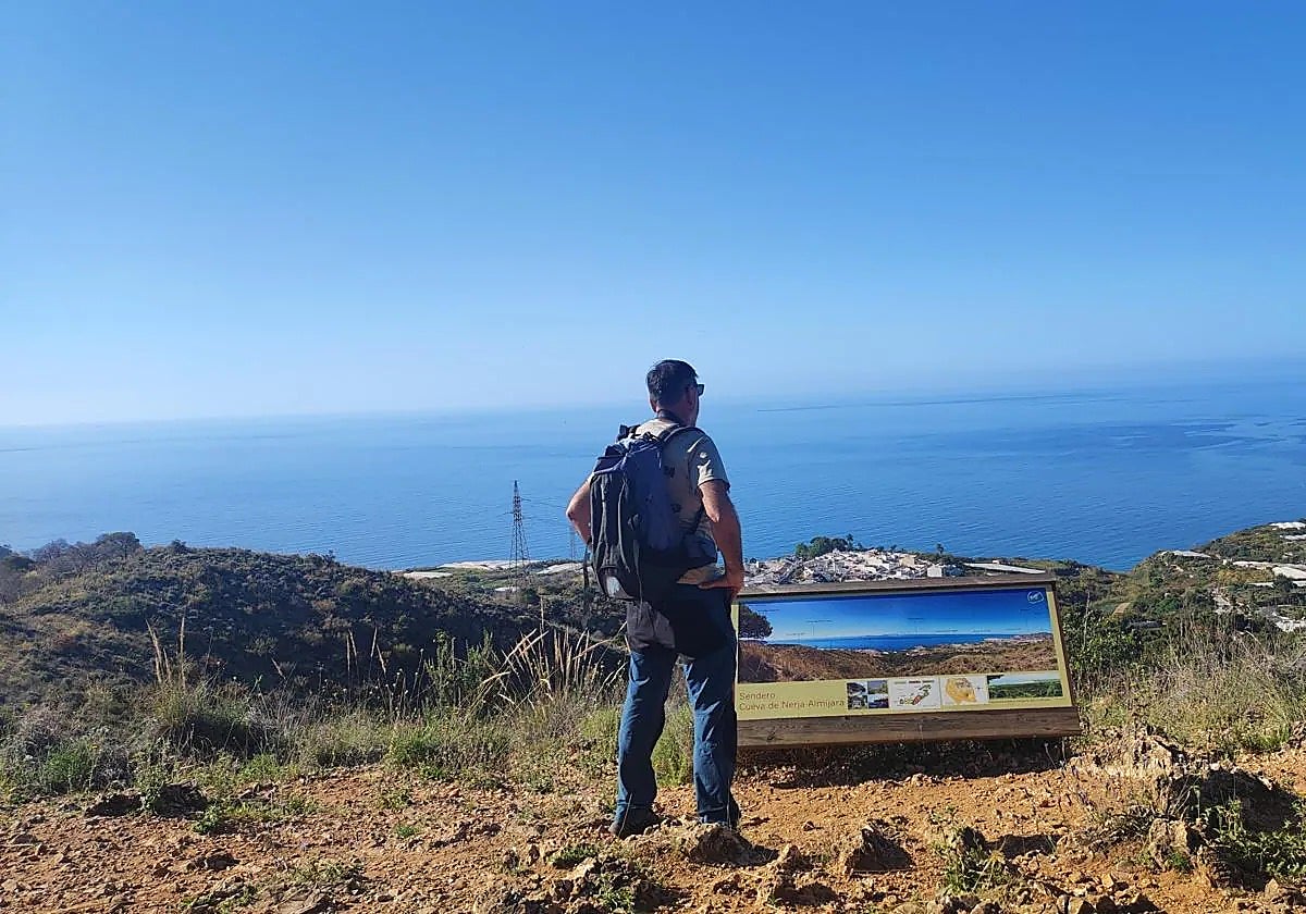
1This route, which is just two kilometres, is one of the two itineraries in Malaga province which have been declared Blue Trails in 2024 for their quality and the value they add to the local area (the other is the Cuesta del Cielo). In this case, it is a circular route that has several attractions which can include a visit to the Nerja Cave itself. There are plenty of information panels along the way that give information both about the cave and about the Sierras de Tejeda, Almijara and Alhama natural park.
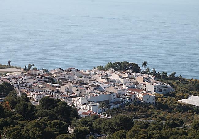
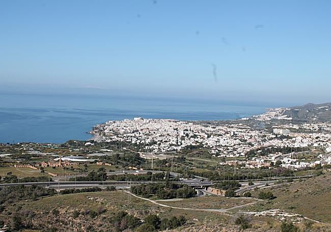
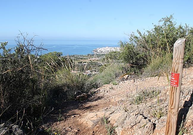
2Just to the right of the entrance to the Nerja Cave you will see the signpost indicating the path, which, for the first few metres, runs along part of the cave's outer enclosure. After climbing a few steps and passing a children's playground, you will reach the gate through which you come out onto a dirt track. Optionally, if the gate to the cave is closed, it is also possible to start from there. The most demanding part of the walk is at the beginning, with a slope of some 400 metres that heads northeast. The physical effort is rewarded with the first panoramic view to the south, with the backdrop of the Mediterranean Sea and Nerja town centre.
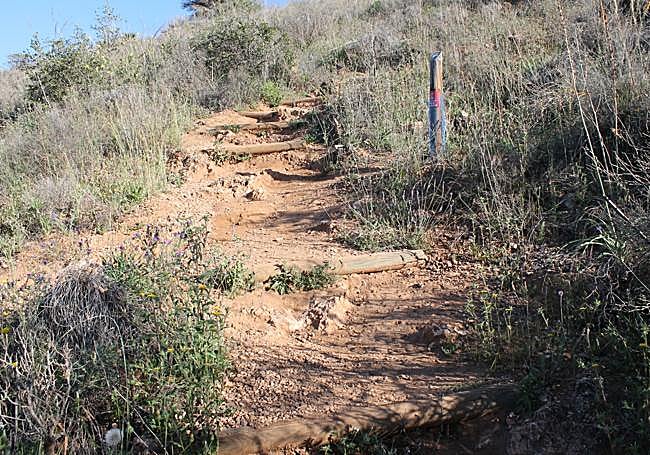
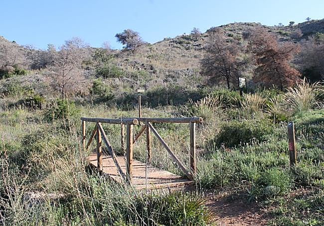
3After the initial climb the slope eases off and begins to head west, offering even better panoramic views of the foothills of the Sierra de Almijara mountains. Here the panels provide more information about the different sections of the Cueva de Nerja and the flora and fauna of the Tejeda, Almijara and Alhama mountain range.
4After around 1.2 metres from the start, next to the Nerja Cave, the route begins its descent down a narrow path to around one hundred metres above sea level. The narrow path then joins a wider track which coincides with both the Gran Senda de Málaga footpath that links Nerja with Frigiliana and the Cuesta del Cielo route. At this point turn left to get back to the Nerja cave.
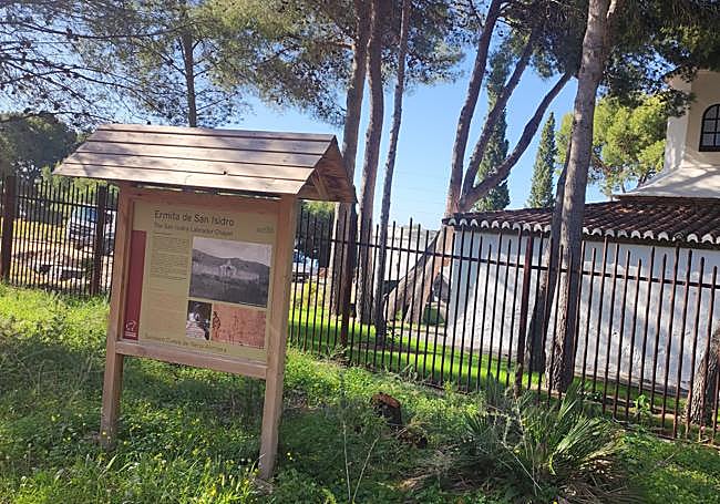
5In the last few metres the route skirts the Nerja cave fence, passing just behind San Isidro chapel, which is open to the public. A couple of hundred metres further east is the entrance to the Nerja cave.
Flora and fauna
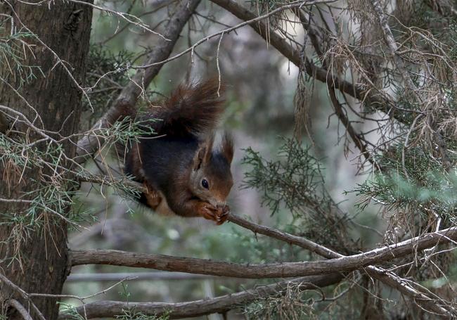
One of the main botanical features of this route is the Aleppo pine, which is the most predominant tree and squirrels may be spotted, especially early in the morning or late in the afternoon. Other interesting plant species include boxwoods, cornicabra, junipers, esparto grass and olive trees.
As well as squirrels, other mammals that may be spotted along the route are Hispanic goats, foxes or even wild boar. Among the birds, the most spectacular is Bonelli's eagle and it may be possible to see reptiles including chameleons.