Weather
Aemet reveals first official forecast for Easter weather in Spain
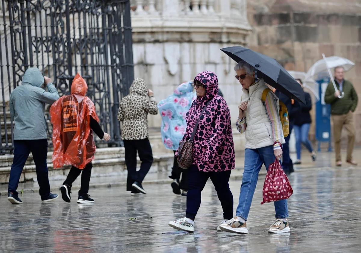
According to the state agency, the risk of rain in the south of the country will start to reduce from next week onwards, although it remains high for Palm Sunday and Holy Monday

Malaga
Aemet, Spain's state meteorological agency, has finally released the long-awaited weather forecast for the approaching Holy Week, although on a national level, as experts will be able to give more precise predictions about regions and provinces from tomorrow. However, the national forecast already raises hopes for somewhat more favourable weather in the south, especially when compared to the clouds that have been forecast until now.
In general terms, the possibility of rain will be considerably reduced from Holy Tuesday onwards, while remaining higher on the previous two days: Palm Sunday and Holy Monday (13 and 14 April, respectively).
Today, storm Olivier is focused on the north of the Canary Islands, where it is generating unstable weather. Heavy, locally persistent showers are forecast. These could be very heavy and accompanied by thunderstorms in the western islands.
Noticia relacionada

At the same time, weather on the Spanish mainland will remain anticyclonic, meaning dry and stable, although with some showers and thunderstorms in the northern third. In the afternoon, Olivier will approach the southwest of the peninsula, giving rise to some showers on the coasts of western Andalucía (Huelva, Seville and Cadiz). Temperatures will continue to be above normal, although with a steady drop in the north.
On Friday (11 April) and Saturday, storm Olivier will continue to approach the mainland, bringing an increase in instability. Locally heavy showers and thunderstorms are expected over most of the country, although less likely in the east and northeast and in the Balearic Islands. The heaviest showers will be located in the western half of the mainland. Daytime temperatures will continue to fall. The wind will continue on Friday, with strong easterly winds in the Strait of Gibraltar and Alboran, where warnings are in force.
Palm Sunday and Holy Monday
On Palm Sunday and Holy Monday, showers and thunderstorms are expected, with a greater probability and intensity in the northern half and southeast of the peninsula. On the contrary, such conditions will be less probable in the southwest. The wind will come from the west or southwest, light on Sunday and with strong gusts in the Alboran Sea on Monday. Daytime temperatures will continue to fall and values will be similar to normal.
Tuesday to Wednesday
In the second half of the week, rainfall will be more likely and heavy in the north-western half of the peninsula and less in the Mediterranean area. Temperatures will drop again, to below normal values.
Maundy Thursday to Good Friday
On the other hand, from Maundy Thursday (17 April) onwards, a general decrease in instability and a recovery of temperatures are expected. However, there is still a probability of precipitation in the northwest third of the peninsula. Details about the forecast from Thursday onwards will be updated with more certainty on Monday 21 April.