What will the weather be like this weekend in Spain?
FORECAST ·
Big changes in temperatures are likely, according to Aemet, and rain is possible next week with the approach of an Atlantic storm on SundayEuropa Press
Viernes, 3 de marzo 2023, 08:28
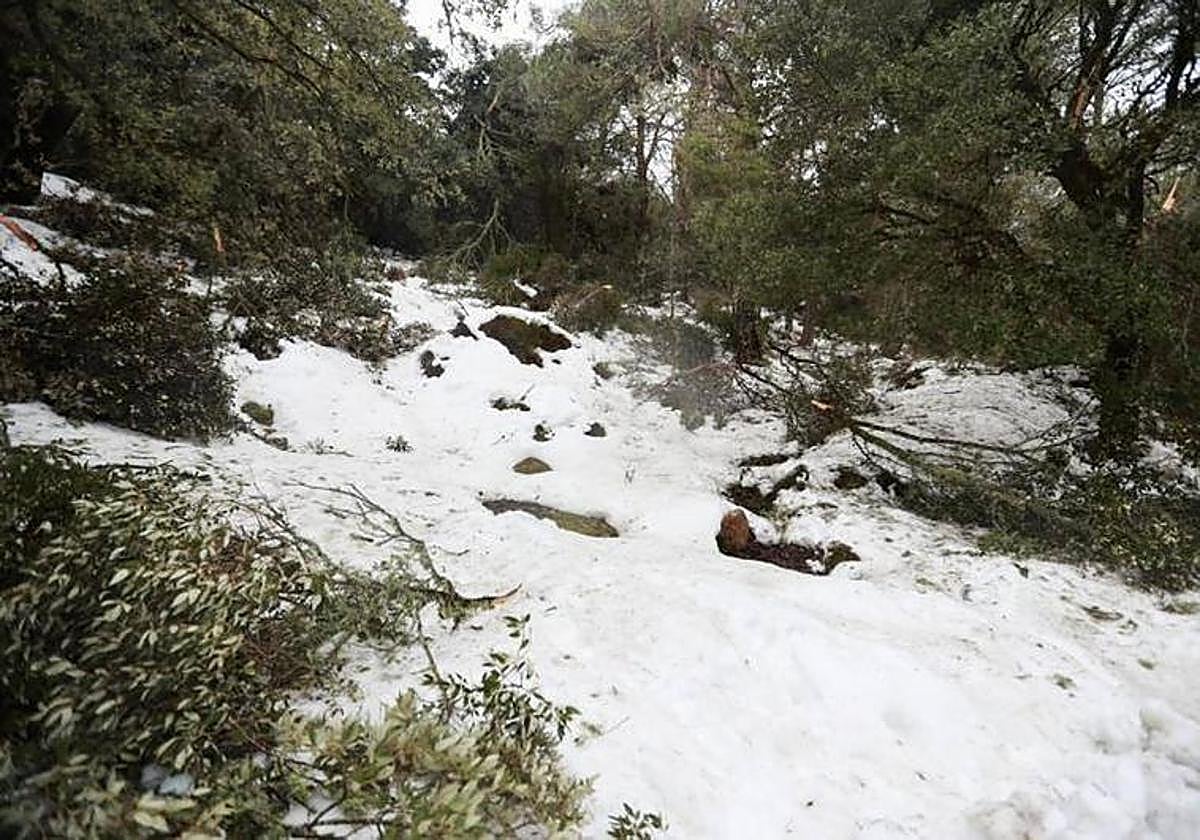
This week will end with a progressive rise in temperatures while the night frosts will continue in most of the interior of Spain, although less intense, except in mountainous areas where they will reach -10C, according to the forecast of the state weather agency (Aemet), which predicts rain next week.
Regarding the recent low temperatures, Aemet spokesperson, Rubén del Campo, said that at dawn on 2 March they reached -10C in Molina de Aragón (Guadalajara) and in other cities such as Soria or León the thermometers registered -6C. The freezing temperatures have left a very cold environment, with values well below the usual values for the time of year. Also in the south of the country, in Cordoba, Seville and Badajoz, they dropped to -3ºC.
On Thursday there was a rise in temperatures of between 3 and 5C in central areas and the northern half of the mainland and, this Friday, the climb of the minimum and maximum temperatures will continue and, in some areas, they will rise between 1 and 3C. Even so, generalised frosts will continue to be present in the centre of the mainland and, in mountain areas, they will be especially strong.
Maximum temperatures in some southern cities such as Cordoba and Huelva will exceed 18C maximum during the day, but other cities such as Burgos, Pamplona, Logroño and Victoria will have a winter feel since the mercury will not reach 7C and Madrid will not exceed 10C.
As for rainfall, it will be scarce and, in areas of Cantabria, Navarra and the Basque Country, there may be weak rains, with a low snow level, between 500 and 700 metres. There may be the possibility of a shower in the Balearic archipelago.
Forecast for Saturday
On Saturday, 4 March, Aemet forecasts a new rise in temperatures across the board, which will be especially notable in Extremadura and western Andalucía, areas where the frosts will disappear. However, they will continue in large areas of the rest of the interior of the country, which may be especially strong in the Pyrenees and it is not ruled out that it could freeze again in parts of the island of Mallorca.
For Saturday, the state weather agency does not expect much rain except for some drizzle in eastern Cantabria and some possible isolated showers in the Balearic Islands.
Arrival of a storm
On Sunday, 5 March, an Atlantic storm will approach the southwest of the mainland, which will leave occasional showers in parts of Extremadura, western Castilla-La Mancha and western Andalucía, with the possibility of it spreading throughout the day to other points in the southwest quadrant of the country.
Del Campo forecasts a rise in temperatures in the east and a small drop in the west on Sunday. During the middle hours of the day it will touch 20C in the Guadalquivir Valley and in the interior of the Levante regions. Likewise, frosts are expected again, especially in the central and interior areas of the northern half of the mainland.
By the beginning of next week, Del Campo warns that the arrival of the storm will probably leave rain in a good part of the western half of the mainland, without ruling out rain further east. However, the rainfall is not expected to reach the Mediterranean area of the mainland or the Balearic Islands.
On Monday, the snow level will be around 1,200-1,500 metres in the southern half of the country and about 900-1,200 metres in the north. Frosts will be limited to mountain areas.
Tuesday is expected to be a rainy day in a good part of the country, except in the Mediterranean areas and the Balearic Islands. As for temperatures, they will exceed 12 or 14ºC in almost the entire country and 20C in the Guadalquivir Valley and Mediterranean areas. However, on Wednesday, rain will be limited to the northwest.
Summing up, Del Campo said that the weather next week will be marked by uncertainty, with cloudier skies and rain from the Atlantic fronts that will affect temperatures. The change from a cold air mass to a warmer air mass will cause a notable rise in minimum temperatures.
Canary Islands
With regard to the Canary Islands, over the next few days, the weather will remain stable. However, a growth of evolution clouds is expected in the middle hours of the day that could leave weak and isolated showers, although Aemet indicates that they may be more intense in parts of La Palma. The temperatures will not register great changes, in some coastal areas they may even reach 25C. In addition, over the next few days the winds are not expected to blow with much intensity.