Storm Barra puts 20 Spanish provinces on alert for wind, waves, rain or avalanches
The weather warnings have been issued by Spain’s State Meteorological Agency, Aemet
EUROPA PRESS
Tuesday, 7 December 2021, 11:25
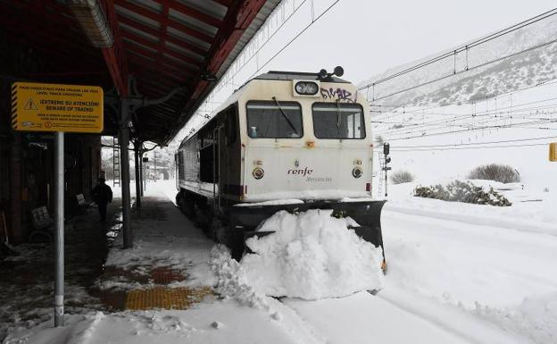
A total of 20 provinces in Spain are on alert this Tuesday, 7 December, due to the risk, or significant risk, from wind, waves, rain, thaw or avalanches, according to the State Meteorological Agency, Aemet.
The national weather agency has activated amber warnings (significant risk) in La Coruña, Lugo and Asturias. The Galician provinces will by hit by force 8 that could create waves of up to six metres high. In the Asturias, the force 8 winds will also create waves between four and six metres high.
Under a yellow (risk) alert will be Guipúzcoa, Vizcaya, Gerona, Pontevedra and Cantabria due to winds from the west and southwest that will cause waves of up to five metres high.
Strong gusts of wind will put La Coruña, Lugo, Asturias, Cantabria, La Rioja, Teruel, Burgos, León, Palencia, Soria, Zamora, Castellón and Valencia at risk due to gusts of wind that could reach 90 km/h, while in Tarragona they may reach 80 km/h.
Avalanches
There are yellow alerts due to the risk of avalanches in Huesca, Lleida and in the Navarrese Pyrenees. In the case of episodes of thaw, Burgos will be on a yellow alert. In addition, La Coruña and Pontevedra will be at risk from rainfall with up to 40mm falling in 12 hours.
Generally, a new frontal system, related to storm Barra, located in the west of Ireland, will affect the mainland. For this reason, Aemet foresees cloudy or covered skies with abundant and frequent rainfall in Galicia, which may extend to the Cantabrian Sea, the western Pyrenees, the northern Iberian system and the western Central system. These rains will be locally persistent in the west and north of Galicia.
Southern third dry
Weaker, scattered and occasional rain will affect the mainland, although no rainfall is expected in the southern third of the country and in the Mediterranean area, where slightly cloudy skies or high clouds will predominate. In the Canary Islands there will be a notable increase in cloudiness, with the possibility of rain in the western islands.
Daytime temperatures will increase, generally slightly, except for the minimum temperatures in the northwest, where they will decrease. In addition, there will be frosts in mountain ranges in the extreme north of the peninsula and in the southeast, more intense in the Pyrenees.