Dramatic weather change in Spain as a cold front from Greenland moves in
The late summer period will be characterised by a drop in temperatures and the possibility of rain and storms in many areas
SUR
Malaga
Tuesday, 30 August 2022
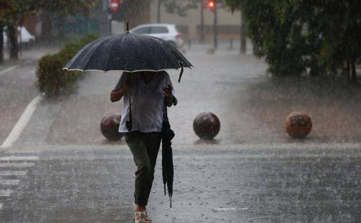
September begins tomorrow, Thursday, and it will bring an increase in cloud and lower temperatures, except in south-west Spain where they will still reach over 35C in some places. Showers can be expected on the Mediterranean coasts, the Cantabrian hills and in Galicia and they could be intense at times, especially in the north-east of the country. On Friday, according to Meteored (tiempo.com) there will be storms in the same areas.
The reason for this, Meteored explains, is a cold front from Greenland, which will particularly affect the north-west of the country from Sunday onwards. The rain will be heavy in that area, and it may spread to other places although it is unlikely to be enough to make any difference to the drought. “We are entering the late summer period and it is normal for the weather to be more variable,” Meteored says.
The same source also points out that there have already been some storms in the second half of August, as well as the constant heat and record temperatures. The next few days will be similar, with pockets of cold air, and a variable and unstable environment with storms which may be strong at times and a general drop in temperatures.