Experts warn storm from Greenland will bring wintry weather back to Spain
From Thursday onwards, a high-impact storm will bring weather instability and a generalised drop in temperatures across much of the country - according to Meteored

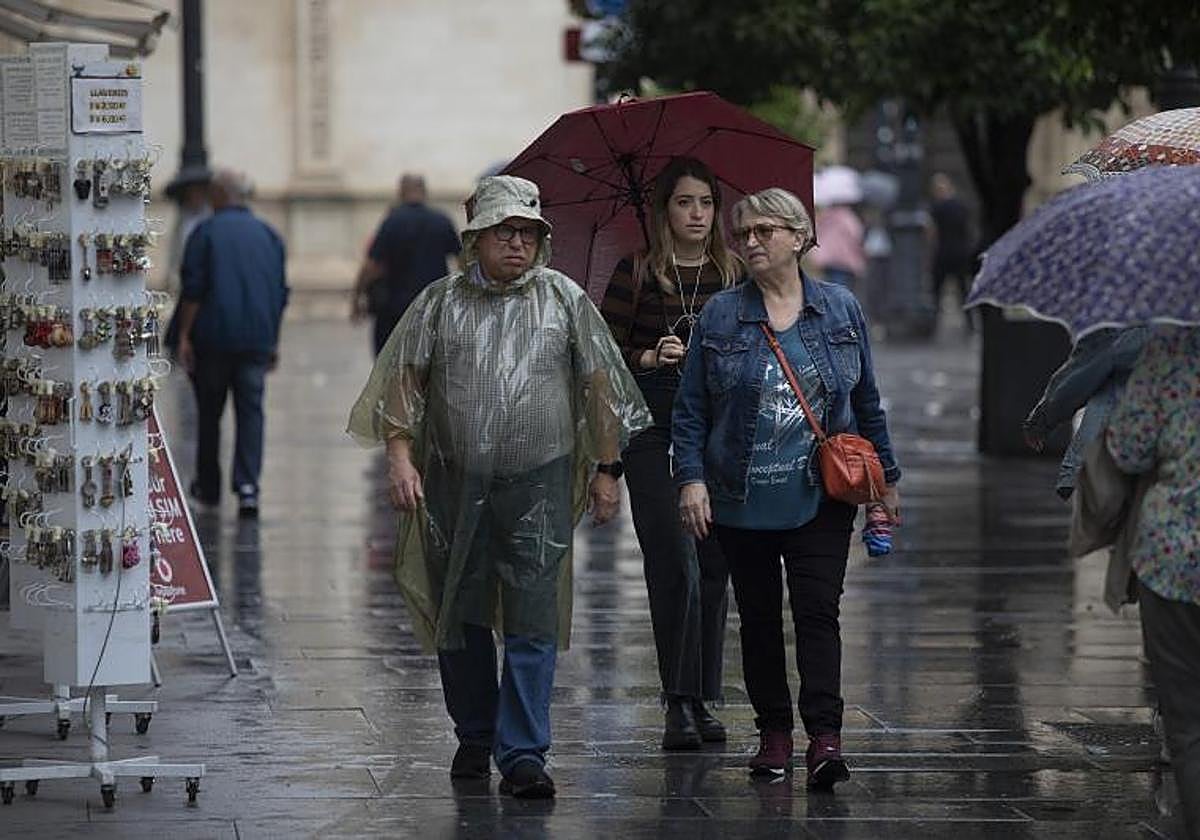
The weather in Spain this spring is continuing on its roller coaster journey with abrupt changes. So much so that meteorologists are warning: "The end of the month is expected to be more wintry than spring-like". The reason? "A cold storm front that will approach at the end of the week and leave its mark on the country", said José Miguel Viñas, an expert from the specialised internet portal Meteored.
"Today, Tuesday, the rains will continue in the north of the mainland, in the Cantabrian Sea area, being especially heavy in the east and in the Upper Ebro, being locally persistent. In addition, there will be snow in the Pyrenees, with a snow level of around 1,000 metres", he explained. But it will be just an appetiser of what is to come.
Wednesday will be a day of transition. In the case of Malaga province, with clearer skies and no probability of showers. But weather instability will return to the country from Thursday onwards. "A new isolated cold storm (known by the initials BFA in Spanish) which could be of high impact, formed to the south of Greenland, will approach the northwest of the mainland. Associated with this depression, an Atlantic front will leave rain in areas of the extreme north, which will be more intense in Galicia, Asturias and the northwest of Castilla y León. Snow is also expected in the Cantabrian mountains and the Pyrenees. Temperatures will fall on the Atlantic side, especially in the northwest of the mainland", Viñas pointed out.
As this expert explained, an isolated cold storm is part of the lifecycle of a 'Dana' (depression in higher levels of the atmosphere), in particular when it reaches a very mature phase. The main difference is the presence of a well-defined surface storm with its own system of fronts. On Friday, the impact of this BFA will increase instability over the whole country.
"Friday afternoon looks set to be rainy across the northwest of the Spanish mainland, with southwesterly winds picking up. Rainfall will be heavy in the late hours in the west of Galicia," he added.
Up to 85% chance of rain in parts of Malaga province
This situation, Meteored insists, will bring a wintry atmosphere to bid farewell to April. Therefore, on Saturday showers are expected in many parts of the country, mainly in the northeast of the mainland. At the moment, in inland areas of Malaga province, such as Ronda, the probability of rain that day is 85%, and in addition the minimum temperatures will drop to 6-7C over the weekend.
"Except in the Mediterranean area, temperatures will drop significantly in Spain, with southerly winds on the mainland and in the Balearic Islands associated with the storm and south-easterly winds in the Mediterranean area," added Viñas.
The instability will extend into Sunday. A very variable atmosphere is forecast with showers in most of the country, "locally stormy and which may cause some hail". On the other hand, daytime temperatures will rise, although the early morning will be very cold beforehand.