Weekend weather forecast for Malaga and Costa del Sol offers temperatures of around 30C and some surprises
The cooler temperatures will be the envy of most of Spain, where inland areas could reach around 40 degrees, although other less welcome factors will come into play in the south
On paper, the temperature forecasts for this weekend in Malaga province will be enviable: 28C on Saturday and Sunday in the city; around 30 degrees on most of the Costa de Sol and 32 to 35C inland. That is, nothing like the 40 degrees expected in many parts of the interior areas of the Spanish mainland, according to the state weather agency (Aemet) forecast.
However, a deeper analysis of the situation ahead leaves some "surprises", which will have a direct and powerful influence, not only on people's thermal sensation, but also on the perception of the weather.
First of all, it should be noted that maximum temperatures below 30 degrees expected from today until Sunday in the city of Malaga are unusual in recent years, when summer temperatures have not stopped rising.
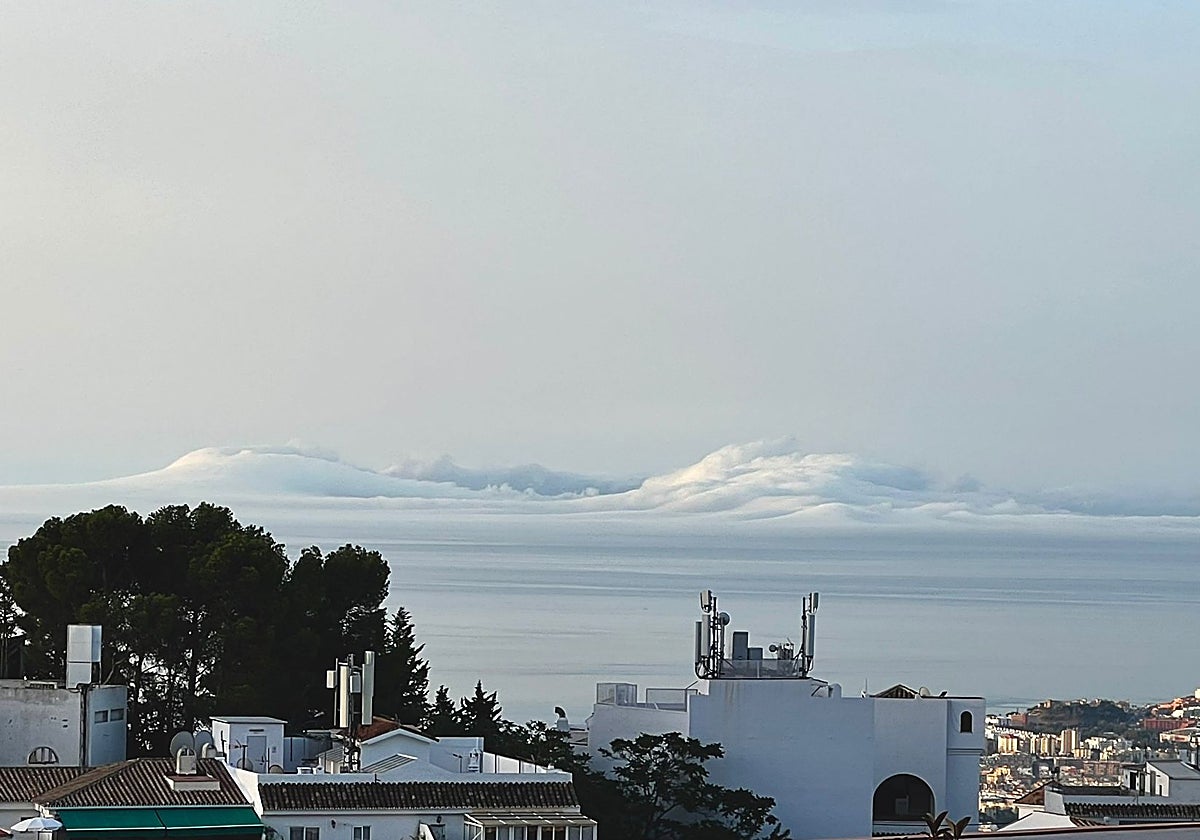
The first srawback is that the easterly wind, the cause of these mild temperatures, will also bring sticky weather, due to the increase in relative humidity. From the 65% today, it is expected to rise to 70-75%, which will lead to more sweating. This, in turn, could give rise to clouds of 'taro' sea mist on the Costa del Sol.
Suspended dust from the Sahara in the atmospshere
And the humid weather will be joined by a second phenomenon which will have a clear influence on the perception of the weather in these parts : the appearance of a 'calima.' As José Luis Escudero, weather expert from Malaga and head of the SUR blog Tormentas y Rayos (storms and lightning) explained, "the bad news is that, especially on Sunday and Monday, a high concentration of suspended dust from the Sahara desert is expected".
"With the updated weather models, there is a high probability that on Sunday and Monday we will have dust in suspension with a high concentration throughout Andalusia," Escudero stressed. This will bring with it the usual "dirty", hazy and brownish skies, and will also contribute to an increase in the sensation of humid heat. "Hot and sweaty weather will be the mean features these two days," he said. It is even possible we will see layers of sand dust on the cars again, and even a few drops of muddy rain.
Sea temperature
On the other hand, the sea temperature today is 23.4C, which is already high, but the forecast is that it will rise further over the next few days. So by the beginning of next week it could be as high as 26 degrees. The main consequence of this will be felt at night, when warm breezes will keep the thermometers high. Nights will again be tropical, around 23C, but at least they will not become equatorial or torrid, as in many other parts of the interior of the Spanish mainland. "With the sea water so warm, it doesn't cool down at night," added the expert.

