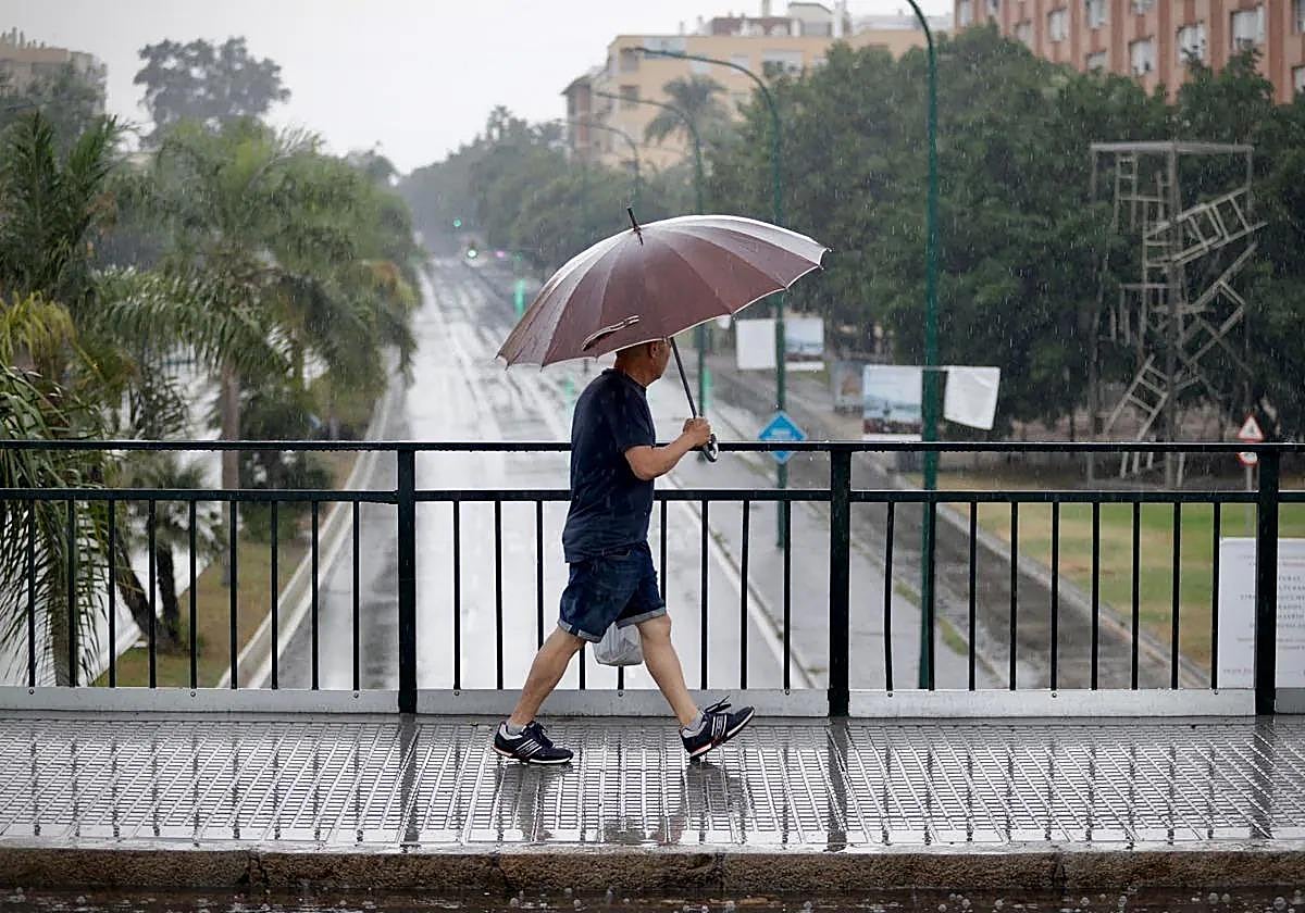
Weather forecast for Malaga and Costa del Sol this week: these are the days when rain is most likely
Spain's state weather agency Aemet forecasts scattered showers, which could occasionally be accompanied by thunderstorms
The week starts with the threat of rain. According to the forecast from Spain's state weather agency (Aemet), it is expected that in the coming days the Mediterranean area and the eastern third of the Spanish mainland will be under the influence of a humid Mediterranean flow - an Atlantic front - which will leave "abundant cloudiness and showers affecting large areas of the east and southeast, as well as the Pyrenees, Balearic Islands and Strait of Gibraltar".
In the case of Malaga province in particular, on Wednesday there is a 50% probability of rainfall in the Costa del Sol - including Malaga city - and Guadalhorce valley area. This percentage increases to 75% on Thursday 24th, a day when scattered showers are expected, "which could occasionally be accompanied by thunderstorms". In Ronda, the possibility of rain will reach 100% on Thursday, although rainfall is forecast throughout the weekend (85% on Saturday and 70% on Sunday).
According to José Luis Escudero, meteorology expert in Malaga and head of the SUR blog ' Tormentas y Rayos, the forecast registers a greater probability of precipitation between Wednesday and Thursday in some points of the westernmost coast and inland areas of the Guadalhorce valley. Escudero, also assures that it will be "orographic" precipitation, that is, that produced "by the ascent of a column of humid air when it encounters an orographic obstacle, such as a mountain", as he explained in the blog. As it rises," he continued, "the air cools until it reaches the saturation point of water vapour and a relative humidity of 100%, which produces the rain.
As for temperatures, on Wednesday, minimum temperatures are forecast to be unchanged or rising and maximum temperatures with little change, except in the eastern and western extremes, where they will fall. On Thursday, the highs will be 25C in Vélez-Málaga, 23 degrees in Malaga and Marbella, while Antequera and Ronda will be 21 and 20 degrees respectively. For Thursday, in addition, the forecast highlights winds from the east, moderate with strong intervals on the coast and light to moderate inland, tending to light variables during the day.
At the national level, the entry of an Atlantic front throughout Thursday "will also leave precipitation in the northwest quadrant of the Spanish mainland, Central system and Pyrenees, more abundant in the west of Galicia and without ruling out that they end up affecting other points of the northwestern half. In the Canary Islands, more stable weather is expected, with a predominance of lightly cloudy or clear skies", according to Aemet.

