Ruta de las Fuentes: An easy circular walk with water features a-plenty in Cuevas del Becerro, near Ronda
Walkers will see springs, waterfalls and other water sources in this 4km hike in the north of Malaga province
A circular route that cuts through the village centre and around the perimeter of Cuevas del Becerro. The landmarks en route have a singular theme: water, for the walker will see plenty of fountains, springs, other water sources and waterfalls.
-
Route information
District: Guadalteba
Municipality: Cuevas del Becerro
Difficulty level: Low. This walk has few slopes, although there are no specific signposts, apart from the route maps provided in the village. In any case, there is no risk of getting lost.
Type of route: Circular
Approximate duration: 1 hour 45 minutes
Length: 4.3 kilometres
Minimum height: 704 metres above sea level
Maximum elevation: 748 metres
Nearby places of interest: San Antonio church, 'nacimiento' (a natural spring source), Tilín trail section, old flour mill, Calle Los Jardines (a pretty street worth seeing) and El Cao waterfall.
-
How to get to the start of this route
To begin this route, head towards the village of Cuevas del Becerro on the A-367 road, which links Ronda with Campillos. Once in the village centre you must locate the spot known as El Nacimiento , which usually carries water for most of the year (except during prolonged drought). There is a parking area here, although on certain days it can be a little more difficult to park due to the large number of visitors. In this case, it would be necessary to look for parking in nearby streets.
-
Description of the walk
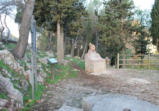
1At the 'nacimiento' area there is a sign explaining this route, which passes by 17 features related to water. All of them are duly identified. In addition, many curious tidbits and important information are detailed for most of the landmarks. There is a map of the whole route, which should be photographed to help you find your way around if you have any doubts. In any case, the first landmark will be the nacimiento itself, which is one of the main springs that supplies water to the De la Cueva river, also known as the De las Cuevas river. After seeing it, the next landmark will be Era fountain, located next to the area known as the 'Resbalaeros' (so called because it was once a threshing floor), which is adjacent to the main spring. From there you can walk up to this iconic fountain. After enjoying the views, return to El Nacimiento and then continue along a lane to the west until you reach Avenida de la Fuentezuela, which leads to Calle Andalucía.
2Travelling along Calle de Andalucía, take a sharp exit, crossing to the other side of the A-367 road to see the third landmark on this walk, Cruce fountain. You will also pass by one of the tributes to all those who work the land, symbolised by a man standing next to an old tractor. You then return to Calle de Andalucía, which you follow in an easterly direction until you turn left into Calle Caño. This street is so called because it leads to the fountain of the same name, which is located next to the De la Cueva riverbed. At this point the most thrilling and colourful part of the walk begins.
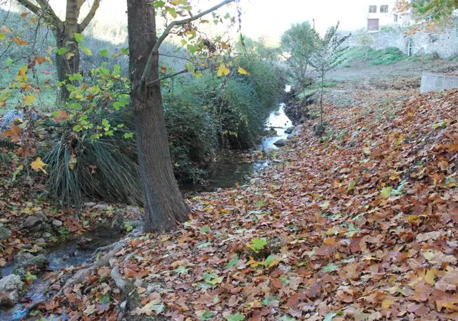
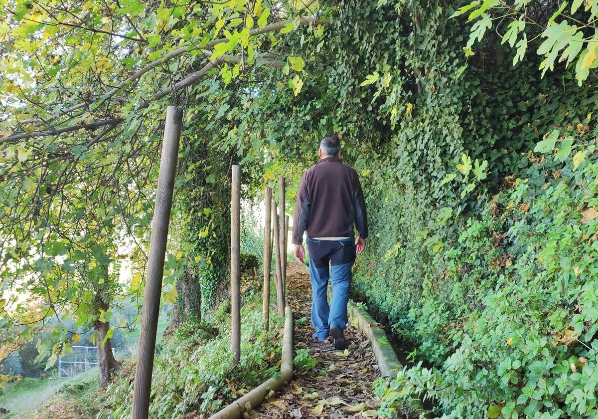
3After leaving the Caño fountain behind, the path descends towards what is known as the Tilín trail, a riverside enclave located at the foot of the village centre. In autumn and spring you can enjoy the beauty of this trail, so full of surprises with lush vegetation and the path sometimes dipping down to the river's edge. It is an ideal walk to do early in the morning in autumn or late in the afternoon in spring. In either case, you will be able to hear and even see the fauna associated with the riverbank.
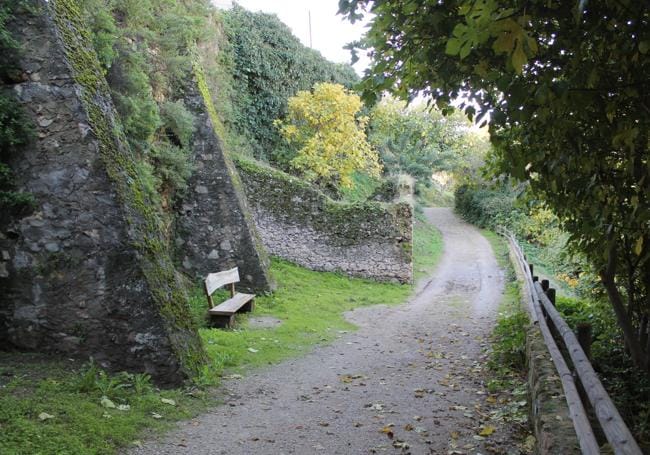
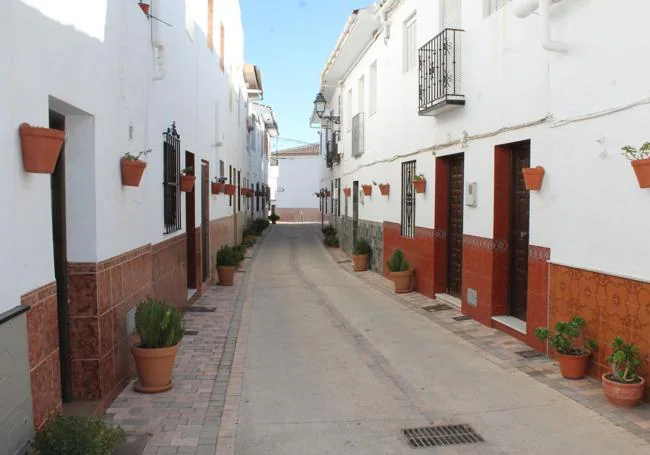
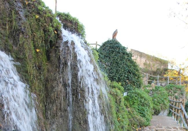
4The climax of the Tilín trail is the complex formed by an old flour mill and the waterfall known as El Cao. After heavy rains, this waterfall is truly spectacular. It can be reached by a narrow path that continues along an irrigation channel. However, you do not have to continue along this path, as the 'fountains' route takes a different path. First you climb up to the Molino. After passing a viewpoint you will have to look for the next landmark at the Puerta del Sol fountain, from where you will have to continue along the well-kept street of Los Jardines until you join the water channel that comes from the Nacimiento. This is what is known as La Isla in this village, as it is a piece of land with an abundance of olive groves, partially surrounded by water. From there, the walk continues in a more urban environment and continues past the Gertrudis fountain (near the Tilín trail, but higher up) and the Patitos fountain (near the church of San Antonio).
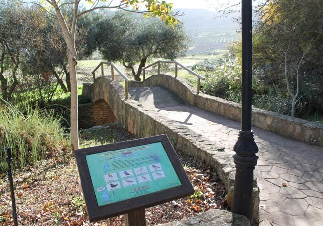
5On the final stretch for this walk, continue along Calle Almona Grande until you join the street known as Málaga (or even Sevilla) to join the Paseo del Carrizal, which is a pretty riverside stretch that leads back to the starting point at the Nacimiento. This is located next to a recreational area, where there is a nice pedestrian bridge, a children's playground and a place to rest.
Flora and fauna
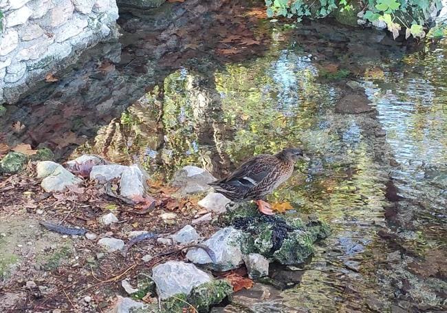
On this walk special attention should be paid to the birdlife typical of riverside areas. They are not always visible, but they can certainly be heard as long as you follow these paths quietly. The white wagtail, robin, kingfisher, blackbird and blackcap are just some of the birds to be heard and seen. You should also look up to the sky to spot some of the birds of prey that regularly fly over the area. Easier to spot are some of the ale and female mallard ducks that occupy El Nacimiento. As far as the flora is concerned, in addition to the riverside flora with poplars and reeds, there is a wide variety of other flora in the area, ranging from cultivated olive and wild olive trees to almond and carob trees, among others.
