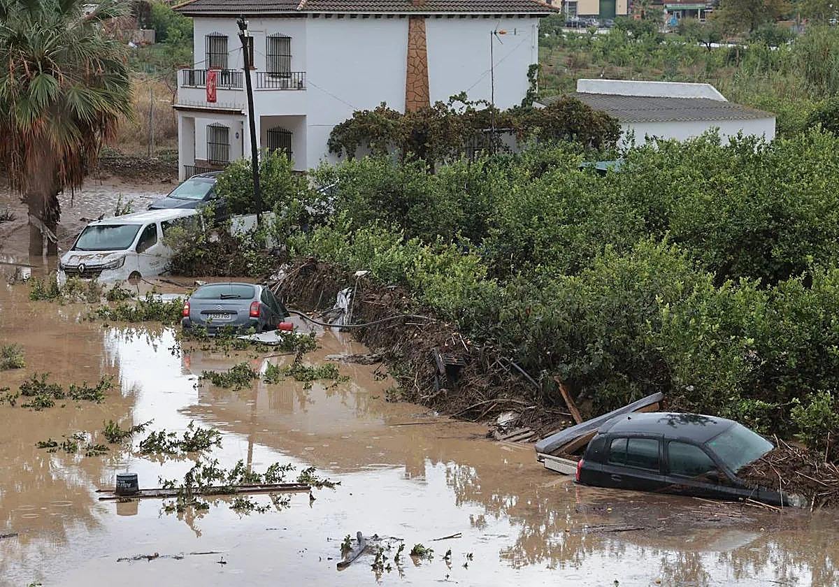
Emergency plan activated by Junta in Malaga province in view of Aemet red and amber alerts for heavy rain
112 Andalucía is warning of the risk of flooding and a regional government head has called for people to exercise "extreme caution" on Wednesday and Thursday
The Junta de Andalucía has activated the pre-emergency phase as part of the regional government's emergency plan for the risk of flooding. This was done after a coordination meeting yesterday afternoon and in view of the amber level warnings that state weather Aemet has activated for tomorrow, according to sources from the regional Ministry of the Presidency.
The amber alerts refer especially to the area east of Malaga city and its metropolitan area (Rincón de la Victoria and Casabermeja); as well as to the north of Axarquía and the eastern part of Antequera. In a position of lower risk (initially) are the Costa del Sol and Guadalhorce valley; while the warning is yellow in the case of Ronda.
The Junta's regional Minister of the Presidency, Antonio Sanz, confirmed today that at 4.49pm on Monday the emergency plan in Andalucía was activated in its pre-emergency phase 0. The first 52 incidents of the latest weather system to hit Spain in the Andalucía region were recorded yesterday in the province of Almeria, although none were serious, apart from flooding in some areas and traffic halted on the A-7, as well as for pools of water, some anomalies in public services and vehicles needing rescuing.
The weather warnings will be repeated tomorrow, Wednesday, for which the Junta's pre-emergency plan has been extended for the provinces of Malaga and Granada, "for maximum monitoring and evaluation of the situation", due to the amber warning. "We have decided to go ahead with it," the minister said. "We are maintaining extreme vigilance and other measures may be taken today, if the risk forecasts for tomorrow are confirmed". In addition to the meteorological warnings, the situation of the riverbeds, the high tide and the effect of the rains of the previous Dana storm in the Guadalhorce valley, where "it is going to rain on the wet ground", will be taken into account.
No suspension of classes yet
Antonio Sanz has not yet clarified whether classes will be suspended in Malaga schools and colleges tomorrow, and for the moment has asked the population of the areas where the heaviest rainfall is expected to "extreme caution, precaution, awareness and responsibility, and follow the alerts and advice of 112 Andalucía. Journeys should be avoided unless they are impossible to modify," he said.
The minister claims that his department does not yet have "Aemet's confirmation of the definitive warning of what is going to happen tonight and tomorrow, although at the moment it is not raining and there is no immediate forecast". "That said, we are going ahead and once the emergency plan is activated, we are in a position to take other decisions. Andalucía is very vigilant and ready to take all the necessary measures, in advance, if these warnings are confirmed".
The pre-emergency phase, operational level 0, is activated by the Minister of the Presidency of the Junta and is essentially characterised by the monitoring of the phenomenon produced or of the available forecasts and predictions, "of which the competent bodies and authorities in matters of civil protection, as well as the population in general, are duly informed".
However, at this stage, mass messages to mobile phones (ES-Alert) are not yet issued, as, for this, the regional government must be sure that there is a certain risk to the population, because it implies that people in the affected areas should not leave their homes and take extreme precautions, these sources add. Only with an amber warning for now, this measure has not yet been activated, but other factors and conditioning factors are taken into account, such as orography, the previous situation of river levels, recent rainfall, high tides, etc.

