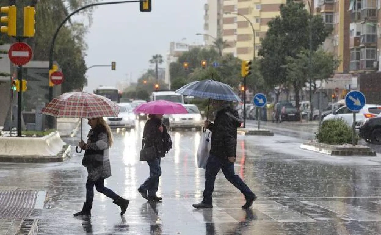
Aemet extends yellow weather warnings for heavy rain in Andalucía today
The arrival of a deep Atlantic storm will bring rain to several provinces including Malaga, the Spanish weather agency has said
Raquel Merino
Malaga
The tail-end of what was hurricane Danielle will be felt in Andalucía for the rest of this week, according to the Spanish weather agency Aemet. Danielle has become a deep Atlantic storm which will bring rain and lower temperatures: the first autumn storm of the year, in fact.
On Monday Aemet issued a yellow weather alert for heavy rain in Huelva and has now extended it through today, Tuesday 13 September, and to the provinces of Seville and Cordoba.
In Malaga, the situation will depend on whether the storm gathers or loses force, meteorologist José Luis Escudero explained in his SUR blog Tormentas y Rayos. However, rain is expected just about everywhere in Malaga province this morning, although the possibility reduces as the week goes on with the exception of the Axarquía and inland areas, where it is likely to rain again on Thursday.
With regard to temperatures, these are expected to be lower in central and Eastern Spain, but they will rise in the Balearic Islands. This fresher feel to the air, combined with gusty winds and rain will make Tuesday feel as though autumn has finally arrived, Aemet spokesman Rubén del Campo commented on Monday.
National forecast
At the national level, a dozen regions have activated a weather warning this Tuesday due to the risk of heavy rains, storms accompanied by hail, intense winds or coastal phenomena, according to Aemet..
Specifically, the rains may accumulate from 15 to 20mm lper square meter in one hour in the provinces of La Coruña, Pontevedra, Orense, Huesca, Zaragoza, Teruel, Cuenca, Toledo, Madrid, Lérida, Tarragona, Castellón, Valencia, Ávila, Salamanca, Cáceres, Badajoz, Córdoba, Seville, Jaén and Huelva.
In addition, the risk of storms will affect the east of the mainland so Aemet has activated yellow warnings in the three Aragonese provinces, four in Catalonia, as well as in Cuenca, Castellón and Valencia.
Meanwhile, the winds will have gusts that can exceed 80 kilometres per hour and that will put León, Burgos, Palencia, Soria, Ávila, Segovia, Salamanca, Zamora, La Rioja, Navarra, Madrid, Toledo and Lérida at risk.
There are warnings due to coastal phenomena in Menorca, La Coruña and Pontevedra, where they expect winds from the south or from the southeast with force 7, mainly offshore. Meanwhile, the Balearic island of Mallorca will have a weather warning due to high temperatures of up to 36C.
The weather situation this Tuesday will be marked by a storm located to the west of Galicia, and cloudy or covered skies are expected across almost the entire peninsula, with almost generalised rains and showers that may be locally strong or persistent and occasionally with storms, mainly in Galicia, Extremadura, , western Andalucía, Aragon and Catalonia.
However, no precipitation or low probability is expected on the Cantabrian and Mediterranean coasts, as well as in the Balearic Islands, where there will be a predominance of medium and high cloudiness. Meanwhile, in the Canary Islands, there will be cloudy intervals with the possibility of some light rain.