Walking the Andalucía region’s most striking coastline
Hiking under the blazing sun is to be avoided or left to mad dogs and Englishmen, but with a little preparation one can enjoy several coastal walks in the sun-scorched corner of Cabo de Gata in Almeria. Following the paths which run high above the cliffs, or that twist and turn by the sea is a delight
Fergal Macerlean
Almeria
Monday, 24 July 2023, 13:06
Almeria’s Cabo de Gata, at the south-eastern tip of Spain, is the driest area of Europe. The region receives just 20 centimetres of rain a year yet has an important collection of 1,000 plant species, such as the dwarf fan palm and pink snapdragon, which are protected in the 38,000-hectare Cabo de Gata-Níjar Natural Park. The park’s semi-arid climate and volcanic origins combine to create this striking landscape, home to the snub-nosed viper and many lizard species, which hugs the Mediterranean coastline.
The area is recognised as a Unesco Global Geopark. Between sixteen and eight million years ago, subaerial and submarine volcanoes were active here, part of a mainly underwater chain, before being lifted to their present positions by huge geological forces. The lava-cooled rocks are typically reddish-brown, or lighter-coloured, with black andesites, such as those found on Mount Etna in Sicily. In some areas columnar jointing can be seen, similar to the Giant’s Causeway in Northern Ireland. Other rocks were formed from huge deposits of hot, grey ash which covered areas below the volcanoes, as happened in Pompeii. For the coastal walks in the summer one is limited to the early morning and late evening due to the intense heat.
Morning walking needs to be completed by 9am while evening walking allows about an hour’s light after 8pm when the temperature begins, or is close to, dipping. All the walks lead to beautiful beaches so once you get there cooling off is not a problem. Sun cream, and water are essential.

Zoom

Cala del Cuervo by Las Negras to El Playazo de Rodalquilar
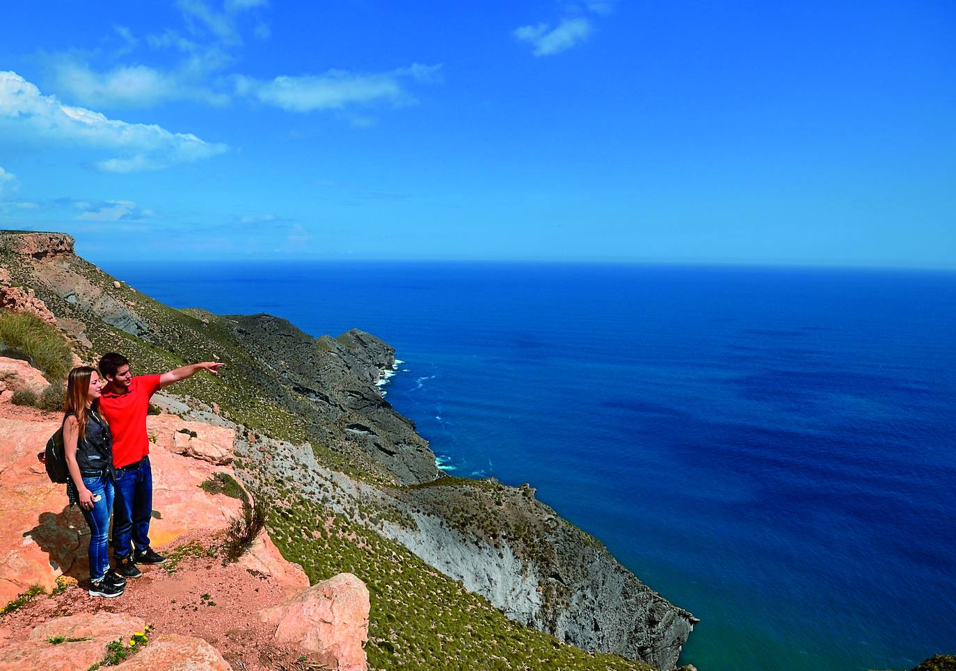
This remote part of the coastline has a stark, timeless, beauty that contrasts vividly with the blue sea.
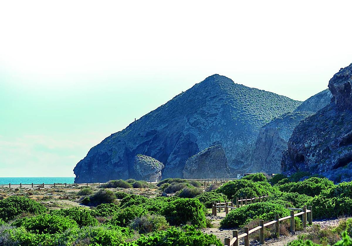
Drive to the fishing village of Las Negras which is dominated by the Black Mountain (El Cerro Negro), formed from dark volcanic material. Follow a coast road south, towards a campsite, and at the entrance to the campsite access a parking area and vehicular track that leads to the sea at Cala del Cuervo (Raven’s Bay).
An information board marks the start of the path to El Playazo de Rodalquilar. This 2km (one-way) walk starts with a steep climb gaining 65 metres in height but, apart from one further much smaller rise, the remainder trends downhill. Along the way there are spectacular views of the cliffs of chalk which lie below the path. After the 18th-century fortress, Castillo de San Ramón, which stands just above the extensive, sandy, Playazo beach you will want to run down to the water’s edge.
The location is stunning and offers safe swimming. Note: there are no facilities or shade so it is best to bring a beach umbrella. It is advisable to have a friend drive to the beach to pick you up. The village of Rodalquilar has several bars and restaurants and an arty vibe.
Los Escullos to La Isleta del Moro
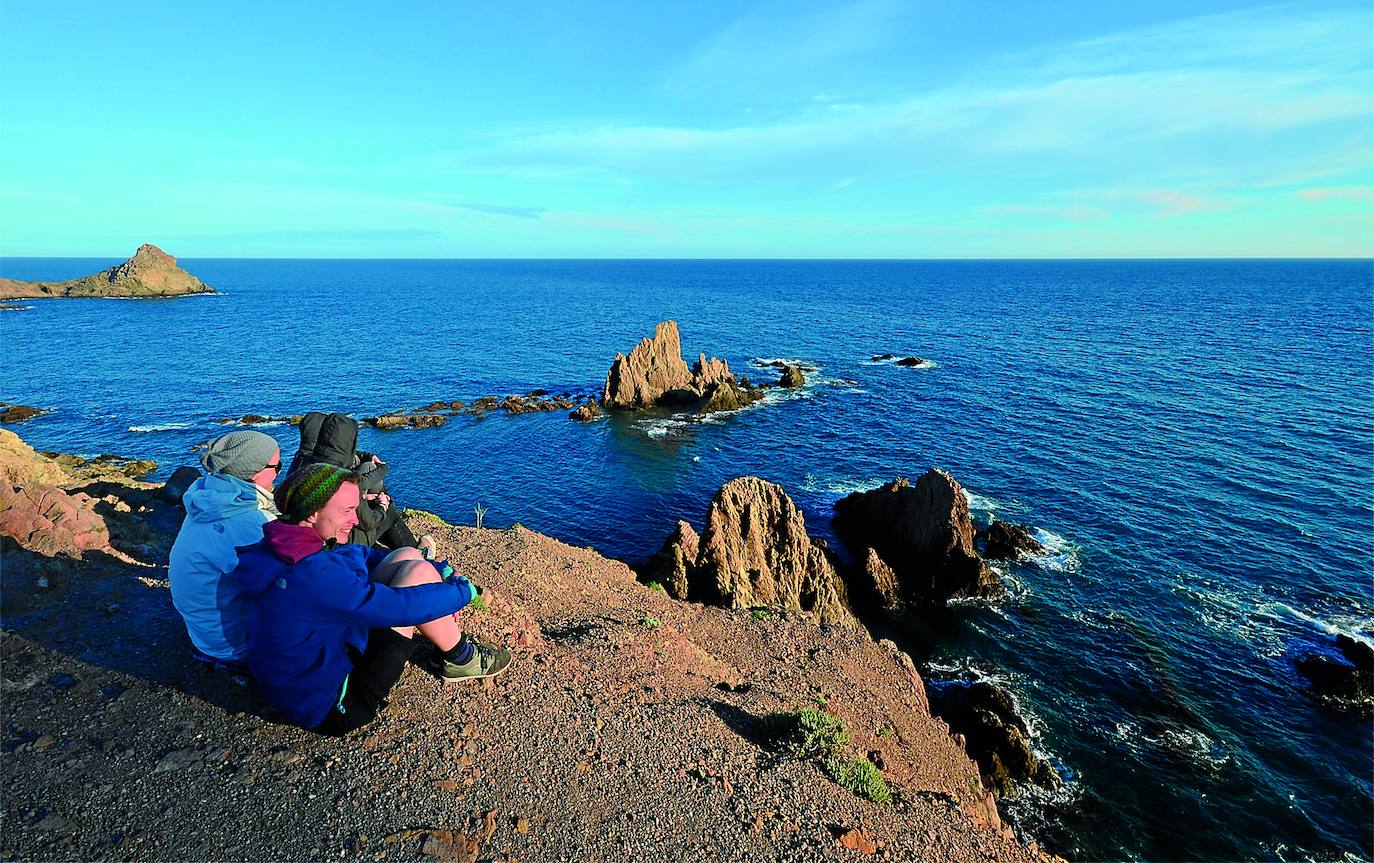
Beside the small coastal community of Los Escullos sits Playa del Arco - a wide, sandy beach that is popular in the summer months. It also serves as the scenic start point for this 1.7km (one-way) walk along the coast to the village of La Isleta del Moro. The route is mainly level but there are stretches where it dips into small ravines before ascending.

Zoom

A path begins by the car park and runs parallel to the edge of the beach. Follow the signs to walk around by a house after which you can enjoy the view back to Los Escullos. The twin-peaked former volcano of Cerro del Fraile (Friar’s Hill) draws the eye. A little further on you get the first views of the whitewashed La Isleta del Moro (The Island of the Moor) which protrudes into the sea.
After sections of path lead through esparto grass you rejoin the seashore before steps lead up to a viewpoint by the village. The pretty centre has a number of bars and fish restaurants and a bus and taxi service.
La Isleta del Moro to Cala de los Toros
This 3km (return) hike is for early birds who like to get away from it all. It leads from the pretty village of La Isleta del Moro to a remote and rugged beach, composed of large rounded rocks, at Cala de los Toros (Bulls’ Cove). You will need to make sure you start the return leg from the beach in time to beat the heat. There is not enough time to do the walk in the evening.
Begin from the village’s Playa del Peñón Blanco to ascend a path that heads inland. The narrow path goes round the Cerro Lo Guarda, passing an area of palm trees on your left, to reach a small wood of pine and palm trees. This sits at the head of the path that leads some 200m down to the sea via the Barranco del Negro, also known as Barranco Oscuro. Enjoy the wild but peaceful setting which makes the effort worthwhile.
