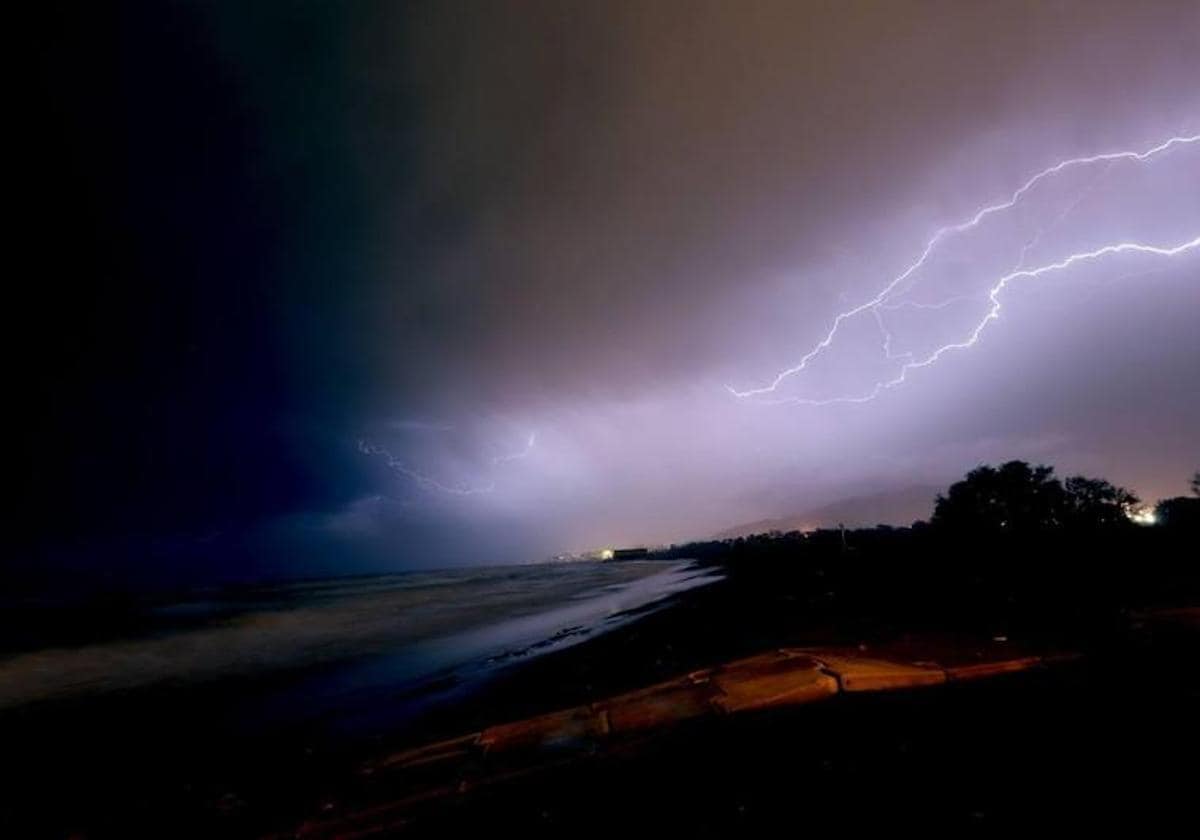
Aemet activates yellow warning for storms in Andalucía: this is how it will affect Malaga and the Costa del Sol
A pocket of cold air in the middle layers of the atmosphere will give rise to a ‘Dana’ that will leave some rain in addition to a general drop in temperatures
Almudena Nogués
Malaga
The unseasonal spring weather is taking a break. After several very dry and hot weeks, further complicating the serious drought situation that the region is experiencing, the rain could make an appearance in Andalucía starting from tomorrow, Wednesday (17 May).
The culprit of this meteorological about-turn is a pocket of dense cold air in the middle layers of the atmosphere that will give rise to a ‘Dana’ - a depresión aislada en niveles altos. It will result in some "isolated" and "irregular" showers in some points in the south of the Spanish mainland, in addition to a general drop in temperatures.
At the moment, in the Andalucía region, Cadiz will be the province most affected by this instability. The state weather agency Aemet has activated a yellow level warning on the coast due to the possibility of storms between 6 am and 2pm.
And Malaga and the Costa del Sol? How will they be affected by this scenario? As the local meteorology expert José Luis Escudero has pointed out in his SUR blog Storms and Lightning' , the intrinsic difficulty of modelling the Danas complicates the preparation of a forecast.
"In Malaga province some weak showers may fall in the evening, but not in all municipalities," he said. For now, Aemet sets the probability of rain in Malaga city on Wednesday at 30%, where the maximum temperature will plummet to 22 degrees - some eight degrees less than a few days ago.
On Thursday, however, the forecast worsens. “There is a greater probability that the rainfall will reach more points, but we will see this better tomorrow with the updated models. These Dana situations are very difficult to predict," added Escudero. And he continued: “In Nerja 25mm fell a few days ago and just two kilometres away hardly anything. What is clearer is that the maximum temperatures will drop throughout Andalucía, since a cooler air mass will affect us again. This situation of instability could continue on Friday and Saturday”, he explained.
Aemet currently establishes a 95% possibility of storms - accompanied by showers - on Thursday in Malaga city, especially after noon. On Friday, a high probability of rain of 90% remains, while on Saturday this percentage is reduced to 80% and on Sunday it falls to 65%. The minimums will move between 14 and 17 degrees and the maximums are not expected to exceed 20-22 degrees for the remainder of the week.