
Weather
Spain ends August with unusual-for-summer storm and very heavy downpours
Meteored forecasts that coming weather system will bring a marked increase in instability in its wake, triggering warnings of storms accompanied by locally heavy rain and other adverse weather conditions
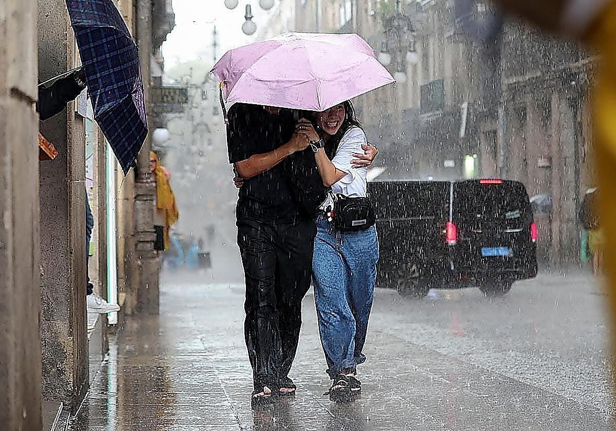
A storm system uncharacteristic for late August threatens to bring heavy storms to Spain from this weekend onwards. According to the Meteored forecast, there will ... be a marked increase in atmospheric instability, triggering warnings for thunderstorms.
The forecast suggests that this Thursday a trough will reactivate a weather front that will trigger unstable conditions. Heavy showers and storms are expected in the northern third of the country, the eastern half and the Balearic Islands, where they may also be accompanied by hail.
Elsewhere in the country, skies will be mainly partly cloudy with a risk of isolated thunderstorms, as well as the usual morning mists along the Cantabrian coast.
Temperatures will ease off almost everywhere on the mainland, with a more noticeable drop in the north-east. The only exception will be Castellón, where the westerly wind will keep maximum temperatures hovering around 40C, while there will be no major changes in the archipelagos.
This Friday, the unsettled weather will continue in the north and temperatures will keep falling. The forecast warns of cloudy skies, with locally heavy and persistent showers in the eastern Cantabrian region, spreading during the afternoon to other areas of the northern third, the Iberian Mountains, Catalonia and the Balearic Islands.
Across the rest of the mainland Spain, the skies will gradually clear, while in the north of the Canary Islands there will be cloudy spells with light drizzle. Temperatures will continue to fall, most markedly in Catalonia and the Balearic Islands, although they will rise slightly in the Canary Islands and the Guadalquivir.
On Saturday, a deep, cold Atlantic low-pressure system will arrive, bringing more rain. A new weather front will cross Spain, bringing heavy rainfall and storms in the north and north-east.
In the southern half, cloud cover will clear as the day progresses, while in the Balearic Islands and the north of the Canary Islands there could be light, isolated showers. Temperatures will fall in the north-east and the Balearic Islands, but rise in the interior of mainland Spain.
On Sunday, the unsettled weather will persist in the north and east. Under the influence of the cold low-pressure system over the west, the northern half of the country and the Balearic Islands will remain very cloudy, with showers that may be heavy in the north-east.
In the southern half, skies will be partly cloudy, though isolated showers cannot be ruled out.
Temperatures will rise slightly in the north-east and the Mediterranean, while remaining largely unchanged elsewhere. Westerly winds will prevail in the south and northerly winds in the northern half.
On Monday, the storm could gain strength and move towards the interior. Forecasts suggest that the storm will intensify to an extent that is unusual for this time of year. The start of next week could be marked by a sharp increase in unsettled weather, with heavy rain and violent storms in the north.
![[]](http://static.vocstatic.com/voc26/latest/assets/images/favicon/surinenglish/apple-touch-icon-57x57.png)