Weather
Spanish heatwave: four Andalusian provinces under amber alert on Monday
The state meteorological agency forecasts up to 42C in areas of the Ebro Valley
Europa Press
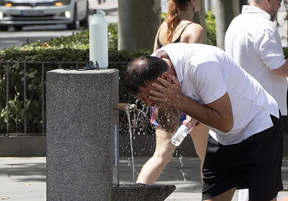
The heatwave that +started in Spain on Sunday continues this Monday with the entry of warm air from the south that will maintain extreme temperatures in much of the country.
Temperatures in areas of the Ebro Valley will reach 42C and heat warnings will be active in 14 regions, according to the forecast of the Aemet state meteorological agency.
The Basque Country will be under a red alert for high temperatures, between 40C and 42C, starting at 1pm. An amber alert will be active in Andalucía (specifically in areas of Almeria, Cordoba, Granada and Jaén), Aragón, the Balearic Islands, Cantabria, Castilla y León, Castilla-La Mancha, Catalonia, Extremadura, the region of Madrid, Navarre and La Rioja.
Additionally, there will be a yellow alert for heat in the province of Seville, Asturias, Galicia and Valencia. The yellow alert in Asturias, Cantabria and Castilla-La Mancha will warn of storms.
Maximum temperatures will keep rising in the north-east quadrant and along the Cantabrian coast, with temperatures that could reach 40-42C in the Ebro, Tagus, Guadiana and Guadalquivir Valleys. Locally, temperatures could exceed 42C. In the interior of the Basque Country and Cantabria, thermometers could also approach or surpass that figure.
The interior of Galicia, the northern plateau and the Balearic Islands can expect 34-36C, while the Cantabrian coast will experience maximum values of 38-40C.
In the northern plateau, temperatures will range between 37C and 39C. Maximum temperatures in the southern plateau, the interior of south-eastern Spain and the Balearic Islands will ge between 37C and 40C.
Tropical nights and possible showers
Tropical nights will once again make sleeping difficult, with minimum temperatures above 20C. Some area of the south and south-east, the Ebro Valley, the Balearic Islands and the Mediterranean coasts will even live through more torrid nights, with minimum temperatures not dropping below 25C.
Daytime minimum temperatures will also rise slightly, more noticeably in the northern third, while in the western third and parts of the Cantabrian area slight decreases are expected, although the values will remain high.
Showers and thunderstorms are possible along the Atlantic coast of Galicia in the early hours of the morning. The central parts can expect some isolated thunderstorms and very strong gusts.
The north could experience thunderstorms with possibly heavy showers and hail in the western Cantabrian Mountains and the Pyrenees. Dry thunderstorms with very strong gusts are also likely in mountainous areas and the southern plateau.
In the rest of the country, the skies will be mostly clear or sunny, with some high-level cloud cover. Low clouds, haze and mist are expected in the morning along the western Cantabrian coast and in Galicia.
The wind will be light from the south across mainland Spain, while along the Mediterranean coast and the Balearic Islands it will be light from the east or north-east, with moderate gusts along the southeast coast. In Galicia, it will blow from the north-west. Breezes will prevail along the Cantabrian coast.
Meanwhile, in the Canary Islands, the trade winds will generally be moderate, with cloudy skies in the north of the islands in the early hours and partly cloudy or clear skies in the south. Temperatures will not change significantly across the archipelago.
Today's weather forecast for Malaga province