
Spain fires 2026
Extremadura fire is under control and the residents of three rural settlements return home
The burnt area has been revised downwards to 4,250 hectares, but the danger level remains at operational phase 2
Rubén Bonilla y José M. Martín
Badajoz
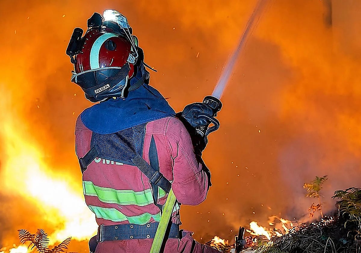
The major fire in the Las Hurdes area in Extremadura is under control, as per the latest update from the management of the regional ... forest firefighting plan (Infoex).
This has led to the start of restriction lifting in some municipalities. Regional minister of emergencies Abel Bautista has confirmed that the residents of the rural settlements of Aceitunillas, Erías and Cerezal can return home. The inhabitants of the latter must remain confined to the centre, however.
The regional government has also met their request for the electricity supply to be restored.
Related story
-
Spain fires 2026
Rubén Bonilla
These relief measures come on top of other decisions that restore normality to the area. The lockdown imposed on Nuñomoral and its settlements of Avellanar and Castillo has been lifted.
The evacuees living in Horcajo, El Gasco, Martilandrán, Aldehuela and La Fragosa cannot return to their homes yet.
On Thursday afternoon, supervised convoys accompanied local farmers who needed to feed their animals.
The Malvellido river and the nighttime operation
Firefighting efforts in the stretch of the Malvellido river between Martilandrán and Cerezal have proved successful.
The aim was to prevent the fire from crossing over to the left bank and advancing towards Asegur and Casares de Hurdes. The joint efforts of the emergency services have contained the flames.
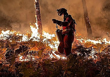
Despite the general improvement, the authorities maintained vigilance throughout the night. A total of 163 people worked on the ground. Resources split across the entire perimeter due to the presence of hotspots.
Attention focused on the western area, near Horcajo, the aforementioned Malvellido area and the northern flank of El Gasco, towards Castilla y León.
4,250 hectares burnt
The partial stabilisation of some of the fire fronts and, above all, the dissipation of the thick clouds of smoke that were obstructing visibility, have enabled the emergency services to make a more accurate assessment of the environmental damage.
Estimates have revised the damaged area down to 4,250 hectares, from 4,800 hectares.
Despite the positive developments, a cautious approach continues to guide the response. The regional government maintains operational level 2 of the Infocaex plan and level 2 of the Infoex plan, which means that it still needs support from the state and neighbouring regions.
![[]](http://static.vocstatic.com/voc26/latest/assets/images/favicon/surinenglish/apple-touch-icon-57x57.png)