
Weather
Spain expects widespread temperature drop and storms due to Atlantic cold air mass
Saharan dust, in the form of mud, may accompany the rain in some parts of mainland Spain

Following the heatwave warnings for temperatures exceeding 42C, conditions are set to become more unstable, with a drop in temperatures and thunderstorms over the coming ... days.
According to the Meteored weather portal, a cold air mass from the Atlantic will move into mainland Spain.
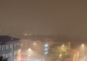
From Friday, cloud cover will increase, moving from west to east. Parts of Andalucía, the Strait of Gibraltar, Extremadura, northern Castilla y León, Asturias and Cantabria may expect light and scattered rainfall, possibly with mud deposits due to the presence of Saharan dust ('calima').
Related story
-
Ignacio Lillo
The weather over the weekend will become more unsettled and temperatures will fall, particularly on the Atlantic coast, although it will remain very hot in the Mediterranean.
Meteored is forecasting severe storms for Saturday, with heavy downpours, hail and strong gusts of wind in Extremadura, Castilla-La Mancha, Castilla y León, Madrid, Galicia, Asturias, Cantabria, the Basque Country and the Pyrenees.
On Sunday, mainly the north-east of mainland Spain will witness storms, with isolated but locally intense downpours in parts of Aragon, Cuenca, La Rioja and the north-east of Castilla y León. In addition, there may be some light and scattered showers in other parts of the north-east.
Current forecasts for next week point to a new above-average rise in temperatures, particularly during the first half of the week.
![[]](http://static.vocstatic.com/voc26/latest/assets/images/favicon/surinenglish/apple-touch-icon-57x57.png)