
Weather
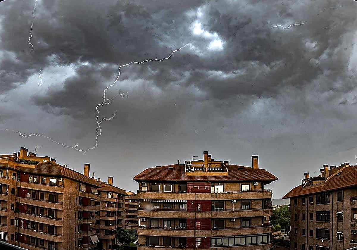
Andalucía warned of 'storms, locally heavy downpours, hail and very strong gusts'
The Aemet state meteorological agency has issued yellow alerts in five provinces, effective from this Wednesday

Málaga
Unstable weather and hot temperatures are returning to parts of Andalucía at the start of September, triggering yellow weather alerts in five provinces on Wednesday ... and Thursday.
The arrival of a mass of very warm air from North Africa will send temperatures soaring, coinciding with the start of the meteorological autumn. Furthermore, the 'calima' dust will be a major feature in the region from Tuesday.
The Aemet state weather agency has issued a warning of "significantly high temperatures in the interior, storms in the eastern third of the region, with a likelihood of locally heavy showers, hail and very strong gusts".
Related story

"We begin September with an easterly flow over the Alboran Sea and the Strait at surface level and a southwesterly flow at higher altitudes over Andalucía. We expect some light, isolated rainfall in the east. Between Wednesday and Thursday, there will be a significant rise in maximum temperatures, meaning that on several days this week temperatures will exceed 40C in various interior areas," the Aemet forecast says.
"Watch out tomorrow, Wednesday, for unsettled weather in the eastern part of the region: locally intense thunderstorms are expected in the northeastern mountain ranges," Aemet warns.
For the time being, Cordoba, Seville, Granada and Jaén will be under a heat warning on Wednesday, between 1pm and 9pm. Granada and Jaén will also be under thunderstorm warnings, with possible airborne dust, "which could lead to mud deposits".
Huelva will join the list of weather warnings on Thursday, with maximum temperatures potentially reaching 38C.
"Following the cool spell at the end of last week caused by the arrival of a polar air mass, a new heat dome will form over our region between Wednesday and Saturday, leading to a spell of very high temperatures across large areas.
Temperatures will peak between Thursday and Friday. On those days, this air mass will hit Spain in full force, bringing temperatures of 40-43C in Cordoba, Granada, Jaén and Seville. Furthermore, the sky will be hazy in the south, south-east and the Balearic Islands due to the presence of Saharan dust," weather portal Meteored says.
SUR's weather expert José Lusi Escudero has made a similar prediction.
"The calima will once again take centre stage. The haze is returning and the sea temperature will rise to between 22C and 23C. The most notable feature will be the high temperatures expected from Wednesday onwards in the provinces of Jaén, Cordoba and Seville, as well as in the interior areas of Granada and Huelva. In the Guadalquivir Valley, temperatures could exceed 42C and even reach 43C. We will see amber alerts again," he warns.
![[]](http://static.vocstatic.com/voc26/latest/assets/images/favicon/surinenglish/apple-touch-icon-57x57.png)