
Weather
Malaga province temperatures ease off after two weeks of intense heat
High humidity makes the air feel muggy, but for the first time in a while maximum temperatures in the Costa del Sol capital have remained below 30C

Málaga
The period of abnormal weather has been so long and intense that the return to what is considered a typical summer in Malaga is well ... worth a headline.
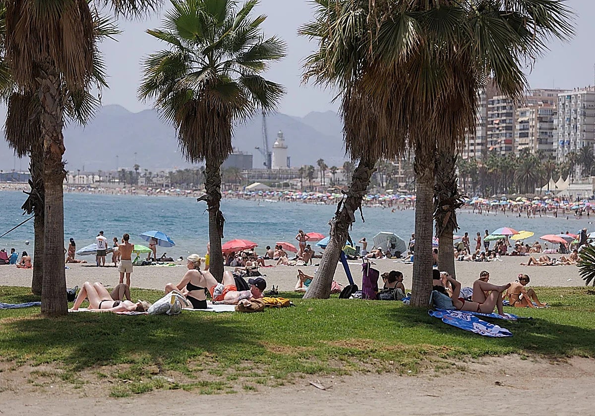
This Monday was the coolest day of the last 15, thanks to the easterly wind. As a result, the maximum temperature in Malaga city remained below 30C.
The temperature at the port was 28.5C; 29.4C at the airport; and the same at the Aemet meteorological centre's headquarters in El Cónsul.
This is a difference of more than 10C compared with the temperature recorded during the intense terral wind last Thursday and Friday.
Even so, people on the streets of the Costa del Sol capital were still complaining that they felt like the air was suffocating on Monday. This is because the arrival of the easterly wind has pushed the relative humidity up to nearly 70 per cent, whereas last Thursday and Friday it was half that.
Therefore, even though it's not as hot, you tend to sweat.
The haze is back
Speaking of normality, the start of the last week of July has also been the first to see maximum temperatures within the historical average for the month.
The good news is that, generally speaking, along the Malaga coastline and in the Costa del Sol, the weather is set to remain stable until August, with maximum temperatures of 31 to 34C.
Unfortunately, it's not all good news. The main threat looming on the horizon is that, from late on Tuesday, the calima haze will return to the province of Malaga and other parts of Andalucía. These conditions will persist for much of the week.
"With it, the general feeling of stifling heat and that sweating we dislike so much will also increase," SUR's weather expert José Luis Escudero warns.
For the time being, the models indicate that there will be no further episodes of terral wind for the rest of the week and the first few days of August.
Meanwhile, the situation in the interior of the province is different.
Aemet has issued a special warning for adverse weather conditions, as the fourth heatwave is set to arrive in Antequera, Ronda and the upper Guadalhorce on Wednesday. It will stay at least until Sunday.
The western Mediterranean expects very stable conditions and clear skies. Combined with the sunshine typical of this time of year, temperatures are expected to rise gradually, reaching very high values from the second half of the week onwards, with nights that will also be very warm.
Temperatures in the Antequera will once again reach 38C this coming weekend, as they will in Ronda. Highs will even hit 39C in Coín and Álora.
For the first week of August, the models are predicting another possible spell of high temperatures, which could see rises to 40C, although the weather pattern could change until then.
![[]](http://static.vocstatic.com/voc26/latest/assets/images/favicon/surinenglish/apple-touch-icon-57x57.png)