Weather
Malaga interior areas register 60mm of rain
The countryside and the province's reservoirs will greatly benefit from this week's rainfall
Ignacio Lillo
Malaga
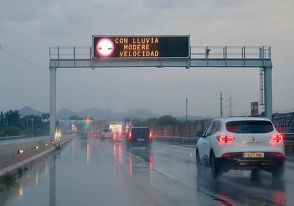
The weather forecast has been accurate. During the early hours of Wednesday morning, the first front of the isolated cold storm (BFA) brought widespread and heavy rainfall throughout Malaga province.
By 2pm, the town of Villanueva de la Concepción in the Antequera district had registered the highest accumulation: 61mm, which set a new record for the province.
This data reflects very generous irrigation in El Torcal de Antequera, above 55mm and in Coín and the reservoirs and river of the Guadalhorce, as well as in Cártama, Alhaurín el Grande and Coín (more than 50mm in all cases).
The Costa del Sol and the area surrounding the La Concepción reservoir, which supplies this extensive area, have also benefitted from the weather. The water levels at the Guadaiza and Guadalmina diversion dams are approaching 50mm, as are those at the reservoir itself and the Marbella wastewater treatment plant (45).
Similarly, the Axarquía district, which is usually the least affected by these types of storms, has also received abundant rainfall. Colmenar has already received almost 50mm. The Benamargosa river, Alfarnate, Alfarnatejo, Periana and Almáchar have all recorded between 40 and 55mm.
With this rainfall, it is likely that the La Viñuela reservoir will reach its full capacity in the coming days (it is currently at around 92 per cent, exceeding 150 million cubic metres). Finally, in Malaga city, the Casasola dam has already received 47mm and the airport 42mm.
Escudero draws attention to the fact that the absolute record for accumulated rainfall in a single day in April, currently in force, is from 9 April 2004, with 47.4mm.
Although the province has recorded significant rainfall, no serious incidents have been reported so far beyond some flooded streets and fallen trees.
According to the Andalusian emergency services, the 112 line received calls about a flooded street in the Guadalhorce industrial park in Malaga (Calle César Vallejo), as well as a fallen tree on Camino Castilla in Maqueda. Meanwhile, the fire brigade reported responding to another call about a fallen tree in Coín that was blocking the road.
Forecast
The province expects more rain in the next few hours. Although the heaviest rainfall occurred between Tuesday night and Wednesday morning, Aemet (the state meteorological agency) extended the yellow alert (low risk) until 2pm today. Also under a yellow alert were the Costa del Sol, Malaga city, Guadalhorce and the Axarquía district.
Most residents will have felt the impact of the rain during the morning rush hours. Meteorologists predict that it will continue raining throughout the rest of the day, but with less intensity.
According to Aemet, this new wet episode is due to the arrival of an isolated cold low, which is similar to a 'dana' in its behaviour but different in characteristics.
The storm has been moving down the Atlantic towards the south-west of mainland Spain since Monday. "It's going to be with us practically all week," director of the Aemet centre Jesús Riesco says. It will cross from west to east along the south coast and bring "unstable weather" for almost the entire week.
Wednesday will see the start of a temperature rollercoaster, with a significant drop both in the interior of the province and along the coast. On the coast, maximum temperatures will be at least 4C lower, although minimum temperatures will not fall as much (thanks to cloudy skies). Meanwhile, the drop in the interior will be more pronounced, around 7C. Therefore, temperatures in Malaga city will not exceed 18C and will fall to 15C in the Antequera district, which is "below the normal values for this time of year".
Click here for today's weather.