
Weather
Malaga province under yellow warning for heavy rain, storms and possible hail this Tuesday
The Aemet state weather agency has forecast rainfall of up to 15mm in an hour in the Antequera and Ronda areas

Málaga
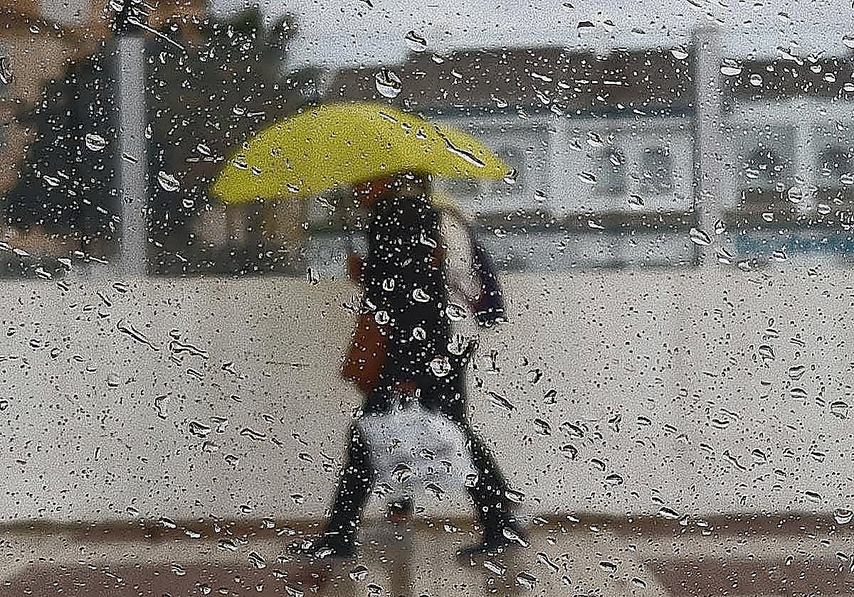
The map of Malaga province turns yellow once again as unstable weather returns this Tuesday. Aemet (state weather agency) has issued a yellow warning for ... that day for heavy rain, storms and possible hail.
The alert concerns the Antequera and Ronda areas, which could see accumulations of up to 15mm in one hour from midnight and throughout the day on 6 October.
The forecast predicts cloudy skies with widespread light to moderate rainfall, "with the possibility of occasional heavy showers accompanied by thunderstorms in the mountain ranges of the western half of the country". In addition, temperatures will fall and winds will be light to moderate and variable, with a strong Levante wind in the Strait.
Related story

"Throughout Tuesday and most likely also during the early hours of Wednesday morning, several bands of unstable weather will affect much of the province of Malaga. This is linked to the cold front to the west of Galicia. The likelihood of rainfall will be very high across the province and we cannot rule out the possibility of thunderstorms in some areas. However, this does not mean it will be raining for a full 24 hours. The showers are most likely to occur sporadically and at intervals," Malaga weather expert José Luis Escudero writes in his blog.
"Furthermore, from tomorrow onwards, both maximum and, above all, minimum temperatures will begin to fall. This does not mean that it will be cold, but we will start to notice a more pleasant atmosphere and slightly cooler nights," Escudero predicts.
Specialist website Meteored agrees with this forecast, which predicts rain for most of Andalucía. "Unsettled weather will spread across much of the country, with locally heavy rain and storms that will also return to Andalucía. Storm cells of some significance will form sporadically, bringing hailstorms and gales. Due to the position of the cold air mass, these showers will be accompanied by mud in the south-east at the start of the week."
![[]](http://static.vocstatic.com/voc26/latest/assets/images/favicon/surinenglish/apple-touch-icon-57x57.png)