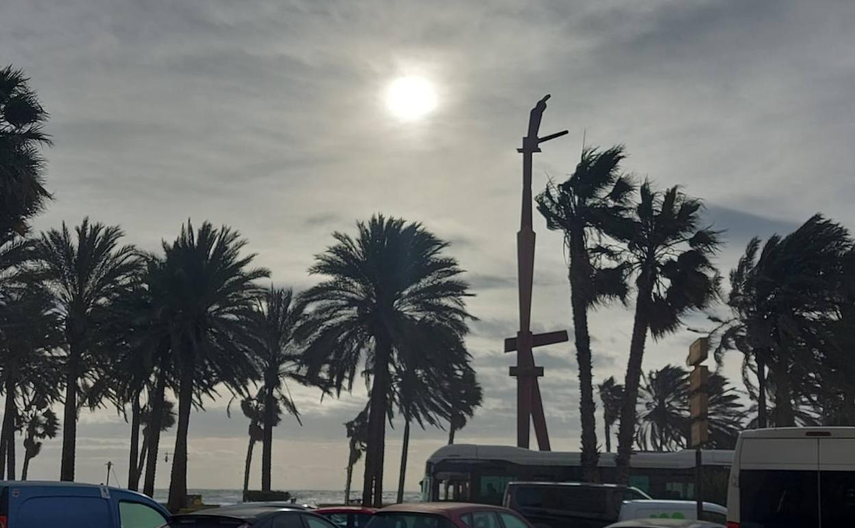
Winds of up to 70km/h and four-metre-high waves could hit the Costa del Sol this Friday
The calima haze will be present until at least Sunday and yellow and amber warnings for rough seas have been issued
ISABEL MÉNDEZ / Ignacio Lillo
Thursday, 16 February 2023, 14:04
The intervals of calima (the haze caused by Saharan sand suspended in the atmopshere) that have been affecting the Costa del Sol since Wednesday are expected to stay until Sunday, at least.
According to the director of weather agency Aemet, Jesús Riesco, the calima will be less intense than it was in March last year, and little precipitation in forecast so it is unlikely to rain 'mud' as it did then.
Meanwhile more stormy seas are expected this Friday. Aemet has issued a yellow warning from midnight this Thursday for the Malaga, Costa del Sol, Axarquía and Guadalhorce Valley areas for rough seas. From 8am on Friday the warning turns amber, with the possibility of waves of up to four metres high hitting the beaches. The warning goes back down to yellow at 8pm.
Also during Friday there is a yellow warning in place for high winds, which could get up to 70km/h (force 7 to 8).
Minimum temperatures will drop, while highs will increase. The highest temperatures this Thursday will be in Vélez-Málaga, according to Aemet, where they will reach 20C, with a minimum of 9C, while in Antequera lows of 7C degrees that are expected as a minimum, the lowest in the province, with a high of 18C.
Friday's temperatures will continue to be higher, except for Ronda, where they will remain at 15C, as opposed to the maximum of 21C expected in Vélez-Málaga.