
Hiking in Malaga
New digital map enables hikers to plan 1,400-kilometres of routes across Malaga province
The tool makes it easy to check distances, difficulty levels, terrain, facilities, photographs, maps and 3D images from a mobile phone or computer
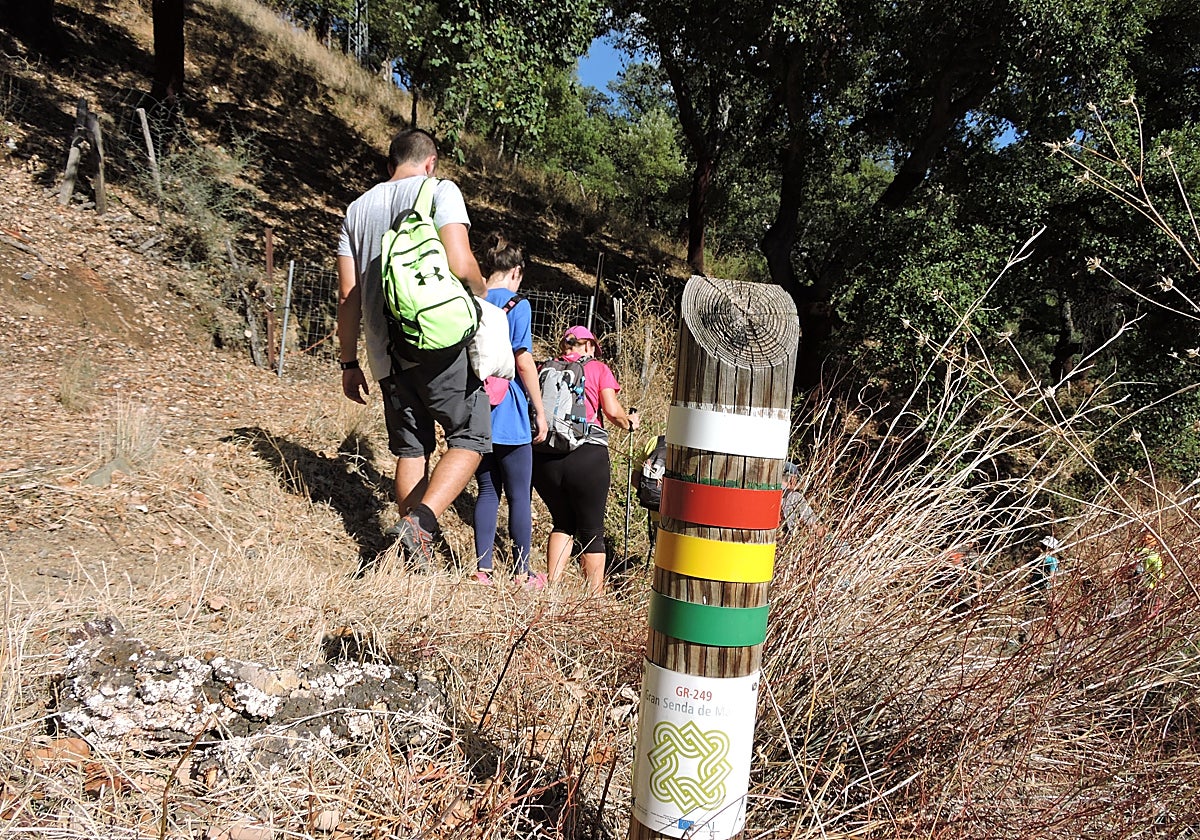

Malaga's provincial authority, the Diputación de Málaga, has launched a new digital map to help walkers plan their routes along some 1,400 kilometres ... of hiking trails spread across the province. The tool has been designed by Costa del Sol Tourism and Planning and can be accessed via the Gran Senda de Málaga website, either on a computer or via mobile phones, by clicking on this link.
The resource brings together on a single map information that, until now, has been scattered across guidebooks, fact sheets and various sections of the provincial website. Users can select an itinerary, find out its main features and check the public facilities located nearby before setting off.
Related story
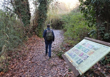
The map includes the 35 stages and six variants of the Great Malaga footpath, as well as the routes corresponding to the Serranía de Ronda, the Axarquía, Sierra de las Nieves and the Guadalhorce. It also includes the Mozarabic Camino de Santiago and the Malaga geological trail.
The app collects data on route, duration, difficulty and terrain, and allows you to view each route on your mobile or computer
The platform provides specific access to the Gran Senda de la Axarquía, identified as GR 242 , as well as providing information on the sections of the coastal footpath (Senda Litoral) and through the inland areas of the Axarquía. The network connects coastal landscapes, white villages, agricultural areas and mountainous regions.
The Diputación's vice-president for infrastructure and sustainable development, Cristóbal Ortega, has described the map as “a very useful tool for finding out about footpaths, planning routes and gaining a better understanding of all the resources the province has to offer”. He went on to say that it will enable users to choose the most suitable route based on their individual circumstances and preferences.
Linear or circular route
Each entry provides details of the starting point and destination, the local authority areas through which the trail passes, the total length, the estimated time taken and whether it is a linear or circular route. The official website provides further details, such as recommended seasons, maximum and minimum altitudes, elevation gains, the elevation profile and the difficulty rating according to the MIDE and SIDIF systems.
The tool also allows users to locate public facilities situated alongside the trails or accessible from them. Among other resources, these include recreational areas, nature education centres, visitor centres, ecomuseums, reservoirs, mountain hotels, viewpoints and observatories.
Users can switch between different map formats to study the routes and the tool includes aerial images, topographical maps and navigation maps, as well as photo galleries and 3D renderings that help users to understand the terrain and the characteristics of the surroundings before setting off.
The tool incorporates maps, photos, 3D views and the user’s location to help with navigation during the tour
Another of the main features is the ‘Find Me’ function, which shows the location of the device being used on the map. This option allows users to identify the nearest trails and facilities and provides an additional reference point for finding their way during the route, provided the user has their phone’s location services enabled.
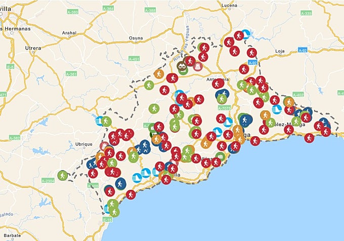
The great Malaga footpath (Gran Senda de Málaga), the network’s main artery, stretches for over 850 kilometres on its own and covers a large part of the province. Ortega has championed the Diputación’s commitment to promoting and protecting the natural environment through trails that link natural areas, rural villages and historic sites. “You can explore all the routes, discovering their unique features, and in this way find the route and experience that best suits each individual,” he concluded.
![[]](http://static.vocstatic.com/voc26/latest/assets/images/favicon/surinenglish/apple-touch-icon-57x57.png)