The Cruz de Pinto route: the path that leads to a place of legends in Malaga's mountains
The aim of this route is to reach an enclave with spectacular panoramic views of the coast and the mountains near Frigiliana
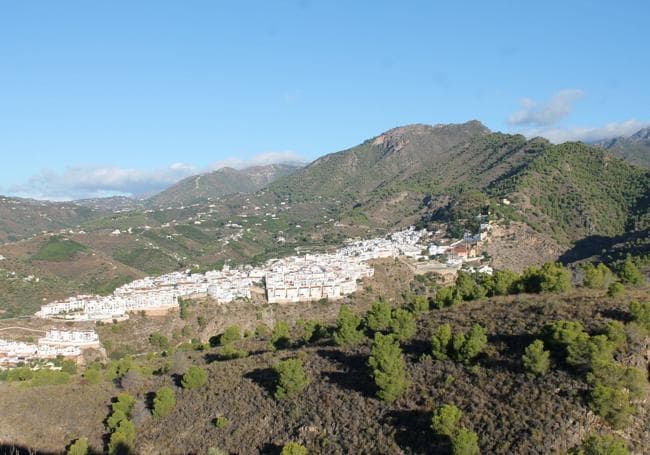
This circular path in Frigiliana in the Axarquía, on the eastern side of Malaga province, is also known as 'La Ruta Blanca' (the white route). It runs along one of the foothills of the Sierra de Almijara, which affords excellent panoramic views of the surrounding area. It forms part of the Frigiliana footpath network.
-
Route data
Area: Axarquía
Municipality: Frigiliana
Difficulty level: Medium. Although this is a route with few big climbs, there are not always signs confirming the path. Sometimes these consist of the traditional stone cairns.
Type of route: Circular
Approximate duration: 2 hours and 45 minutes
Length: 5.8 kilometres.
Minimum height: 211 metres
Maximum altitude: 402 metres
Nearby places of interest: Cruz de Pinto, Barribarto, San Antonio church, Santa Fiora botanical garden, Felix cross, old castle or Ingenio building (sugar cane honey factory).
-
How to get to the starting point
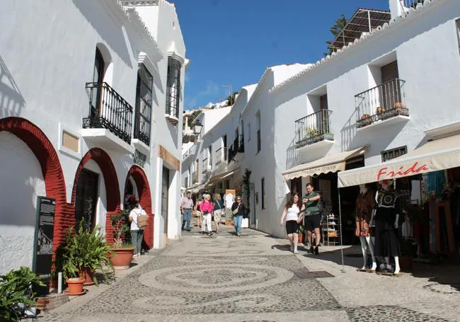
The starting point for this route is Frigiliana. Before entering the old town, in front of the sugar mill building (where sugar cane honey is still produced), you will find the official starting point for this circular route. From there you only have to go down Calle Camino Boticario to join a concrete lane that connects with the Higuerón riverbed. It is advisable to leave your vehicle parked in one of the town centre car parks.
-
Route description
1Once you leave the town centre along Calle Camino Boticario, you descend to the bed of the Higuerón river, a tributary of the River Chíllar which is usually dry in late summer and much of the autumn, depending on rainfall. You will have to descend along the course of the river or its banks for a few metres, until you see an exit signpost on a path on the left. In this case you can see a blue painted sign on a rock in the course of the Higuerón. From here, you will start to climb along a narrow, winding path for almost half a kilometre.
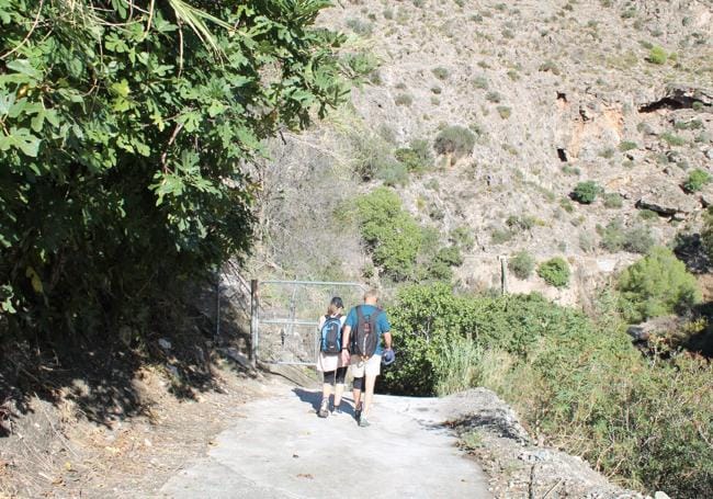
2After a beautiful shady ascent from the Higuerón riverbed, we reach one of the important landmarks of this circular path, known as carril de Pinto, an old livestock building that is little more than a ruin. From there, the path follows a wide track, which first descends slightly and then starts to climb and finally runs flat for a long stretch. After half a kilometre from the farmyard, you reach the second important milestone on the route, the Pinto pass, where there is an important fork in the path. Here you will have to leave the wide track to look for a narrow path that runs along one of the slopes of the sierra. This is an important point, as on the way back you will reach this point to start the final return via the same steps.
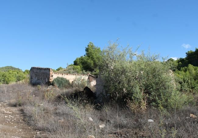
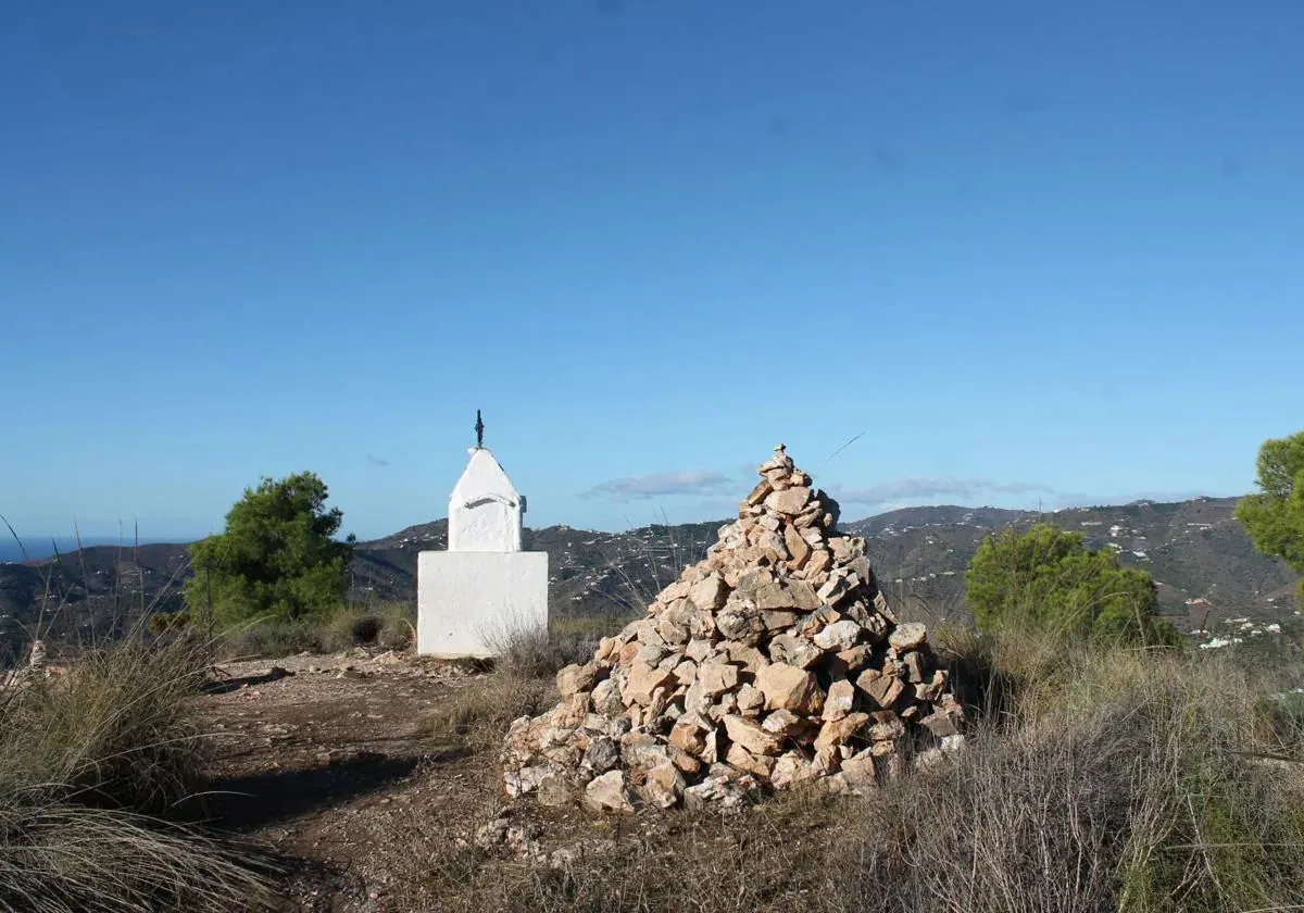
3On the narrow path we face another fairly steep climb up to the main landmark of this route, which gives it its name, the Pinto cross. On a narrow, winding path from the fork there is a difference in height of just over a hundred metres in approximately one kilometre. The effort will be rewarded with the arrival at the aforementioned cross, which, according to legend, was ordered to be built in the 17th century by an Italian sailor who entrusted himself to God and promised to build a cross on the sierra if he was saved from a storm.
This story may or may not be true, but what is certain is that from there you will have a panoramic view of the coast of Nerja and Torrox as well as Frigiliana and some of the most important peaks of the Sierra de Almijara.
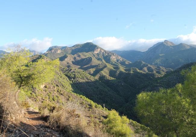
4From the Pinto cross, after enjoying the views, descend along a path marked with stone cairns, which descends the south face of this hill. To do so, head east a few metres until you make a sharp turn and continue along a narrow, steep path for about 600 metres. This will take you to a wide track, the Paraje Almachares track, which heads north. In this way, after almost a kilometre and a half of ascent, you will reach the Pinto pass, where you connect with the first part of the route.
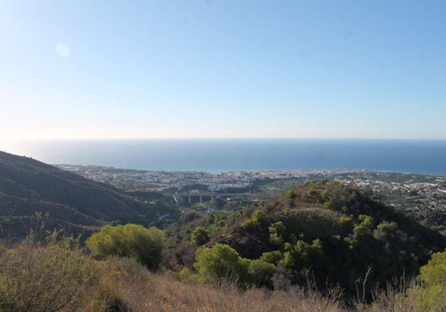
5From the Pinto pass you will have to continue along the same steps to return passing through the Pinto corral and then taking a narrow path in the shade that reaches the Higuerón riverbed. From there, you will have to climb up the course, which is usually dry, to go back up to Frigiliana town centre along an asphalted track (Camino Boticario).
Flora and fauna
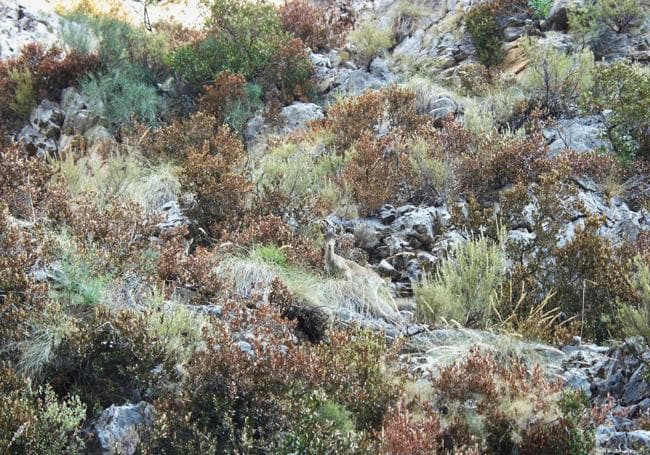
In the Higuerón riverbank section you can see plant species such as oleanders and honeysuckles, while in the forest there are plenty of pines, palmettos and other species native to the Mediterranean. As far as fauna is concerned, the occasional mountain goat and even the odd wild boar can be seen. There are also species of birds of prey of different sizes that form part of the valuable ecosystem of the Sierras de Tejeda, Almijara and Alhama natural park.
