
Weather
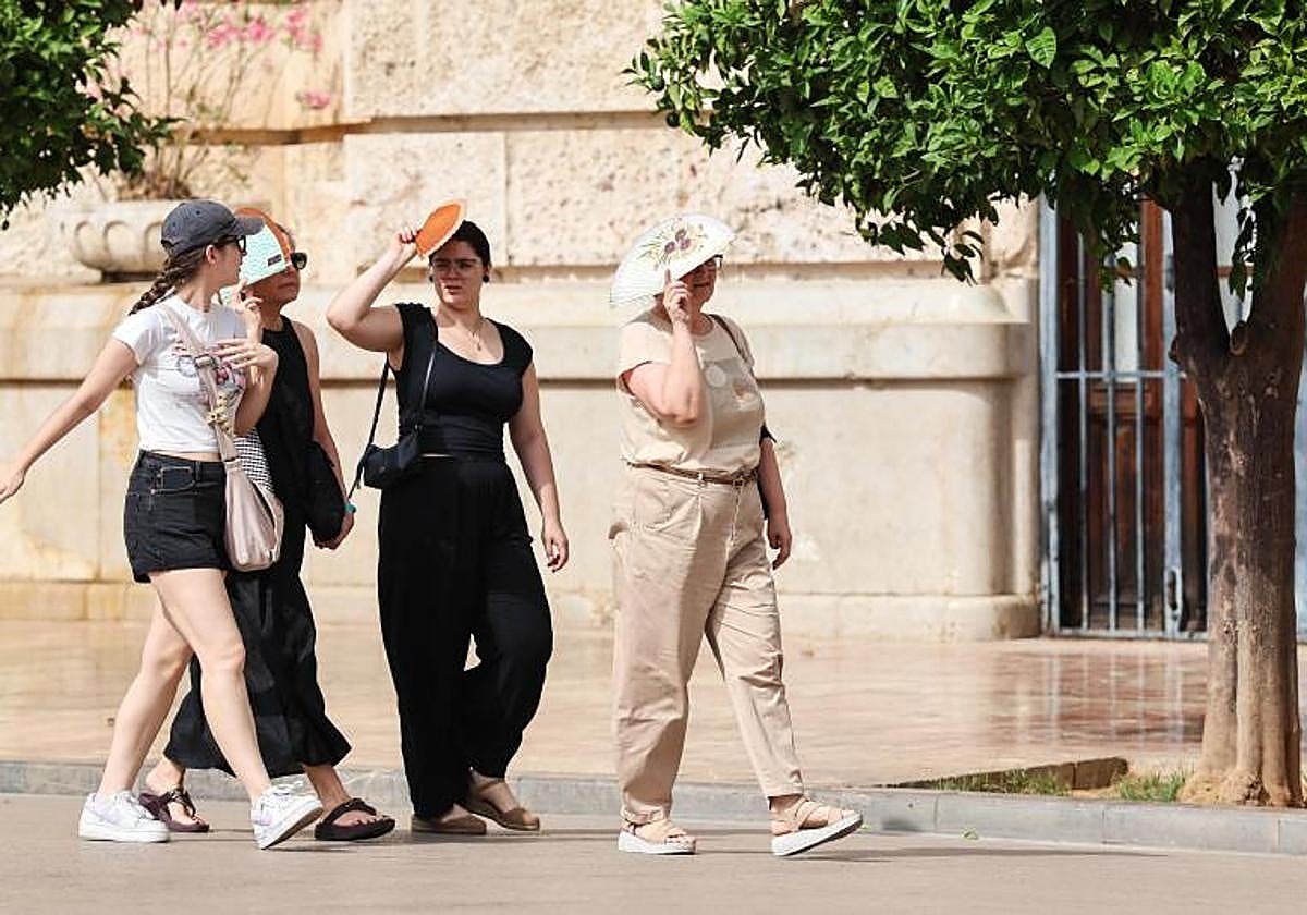
Andalucía temperatures set to rise again on Monday, triggering new heat and wind warnings
Seville could see maximum temperatures of 38C, while the coast of Cadiz will once again be under alert
Europa Press
Temperatures will rise again this Monday in the north-eastern half of mainland Spain and in the archipelagos, with locally significant increases in some parts ... of Galicia and Cantabria.
They will reach nearly 40C in Badajoz, Ourense and some parts of Andalucía, according to the forecast by Aemet (the state meteorological agency).
The high temperatures in Seville, up to 38C, have triggered a yellow warning for Monday. Meanwhile, the yellow alert along the coast of Cadiz is due to coastal phenomena and strong winds.
Elsewhere in Andalucía, the skies are expected to be generally clear or with light cloud cover. There will be some cloud cover developing in the interior mountain ranges and intervals of low cloud in the Strait of Gibraltar and Mellila, with the possibility of occasional light showers.
There could be slight changes in temperatures and the winds will be light to moderate and variable, predominantly from the east, with moderate to strong easterly winds in the Strait area. The gusts in the first half of the day will be "very strong".
The forecast for Spain
Elsewhere in Spain, the weather will remain stable on Monday, with partly cloudy or clear skies and no rainfall across most of the country. Besides Andalucía, four regions will remain under a yellow heat warning, namely Asturias, Catalonia, Extremadura and Galicia.
Maximum temperatures will rise in the north-eastern half of mainland Spain and in the archipelagos. They may rise significantly in some areas in north-eastern Galicia and Cantabria region, with little change elsewhere and some drops in parts of western Galicia and the Alboran Sea.
Temperatures will exceed 35C in large parts of the southern Atlantic coast, the eastern Canary Islands, Galicia and the north-eastern and Cantabrian lowlands.
As for provincial capitals, temperatures are expected to reach 39C in Badajoz and Ourense, 38C in Seville and 37C in Cordoba. Madrid will reach 34C.
As for minimum temperatures, they will rise in the northern third, with little change elsewhere. There will be tropical nights, with temperatures not falling below 20C, in parts of the south-west, along the southern Mediterranean coast and on the archipelagos.
There will only be patches of low cloud in the Strait area, Melilla and northern Galicia, as well as in parts of the Cantabrian coast, the eastern coast and the Balearic Islands, with scattered patches of morning mist likely to clear. By the end of the day, cloud cover is likely to increase along the Galician Atlantic coast, with the possible formation of coastal mist and fog.
In the Canary Islands, there will be low cloud along the coast in the morning, tending to give way to partly cloudy skies, with the presence of 'calima', which could reach significant concentrations on the eastern islands.
As for the wind, it will be moderate from the east and north-east along the Alboran coast, the south-east, the Cantabrian coast and northern Galicia. Elsewhere, light winds from the east and south will prevail, with moderate gusts along the Levante coastline. In the Canary Islands, there will be light northerly winds in low-lying areas and moderate southerly winds at higher altitudes.
![[]](http://static.vocstatic.com/voc26/latest/assets/images/favicon/surinenglish/apple-touch-icon-57x57.png)