
Weather
Rain returns to Malaga province this Wednesday
For now, rainfall will be light and confined to the coast, but it will move to the interior, particularly to the Serranía de Ronda, from Monday onwards
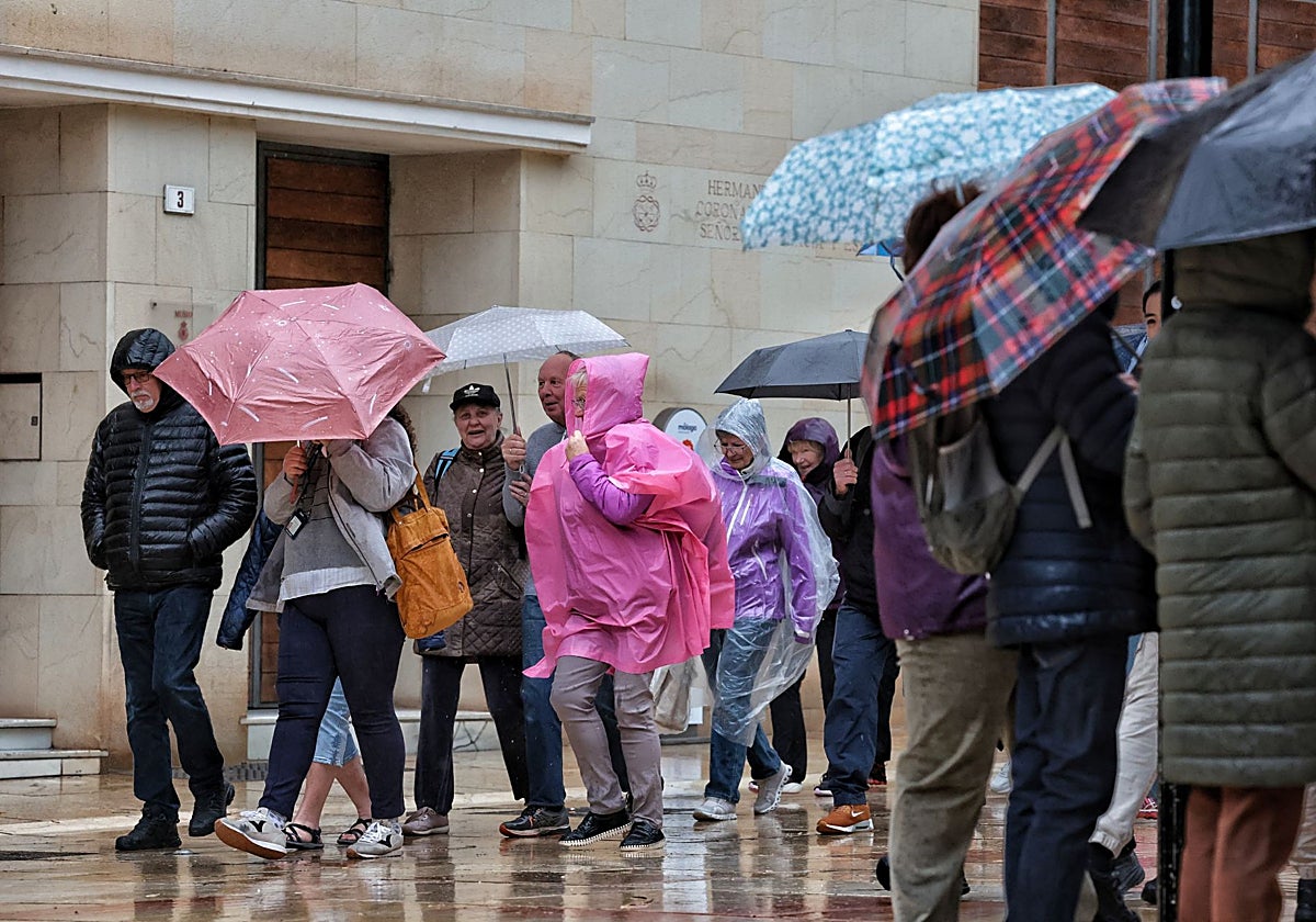

Málaga
Malaga has had two weeks of stable weather after the powerful cold front that mainly affected the El Palo district and Rincón de la Victoria. ... Rain, however, is set to return to the province this Wednesday.
According to Aemet (state meteorological agency), a cold front will cause a destabilisation of conditions, but rainfall totals across the province will not be significant.
"Several bands of instability are set to pass through the area," local weather presenter José Luis Escudero says. These bands of cloud will move in from the Strait of Gibraltar and the Gulf of Cadiz, accompanied by a mass of humid air of subtropical origin.
"Depending on where it passes, there will be more or less rain. At the moment, there are yellow warnings in Ceuta, the strait and along the coasts of Almeria and Granada, but not in Malaga. Here it may just graze the coastline. It depends on how far inland it moves from the sea, although some rain will fall," Escudero says.
"It is possible that Manilva will see higher rainfall totals, as the amount will be greater the closer you get to the strait," he explains.
In principle, the most likely rainfall totals will be 2-5mm along the coast, although in some parts of the westernmost Costa del Sol they could reach up to 15. "Small changes in the path of these bands of instability can make the difference between experiencing a heavy downpour or getting virtually no rain at all."
Temperatures will remain high for this time of year, with a maximum of 22-24C and minimum of 13-15C in Malaga city and along the provincial coast. In the interior, temperatures will also remain mild, ranging from 20-22C during the day and 10-11C at night in Antequera and Ronda.
"Temperatures will remain above normal throughout this week, particularly on the coast," director of Aemet's centre in Malaga Jesús Riesco says.
A storm is on its way
This will be a prelude to what is to come in the short term. "By the end of this week or early next week, we will be affected by a very deep and powerful autumnal storm from the Atlantic: a cold low-pressure system with surface effects that will impact Andalucía," Riesco says, warning that they still don't know whether it will mostly affect the north or the south of the region and the province.
At regional level, although it is not yet possible to determine where the heaviest rainfall will occur, Aemet forecasts "persistent and fairly heavy rainfall". "These are typical autumn storms, which bring significant rainfall, but the extent of the impact will depend on their exact location."
José Luis Escudero agrees with this forecast: "Next week we'll be hit by a storm, which may be accompanied by southwesterly winds." This combination could result in heavy rainfall in Grazalema and the areas around the Serranía de Ronda, Alto Guadahorce and Guadalteba.
"It could bring heavy rain where it is most needed." That is, in the area where some of the main reservoirs that supply the province with drinking water are located.
