
Weather
Malaga province expects 'dana' phenomenon and storms this weekend
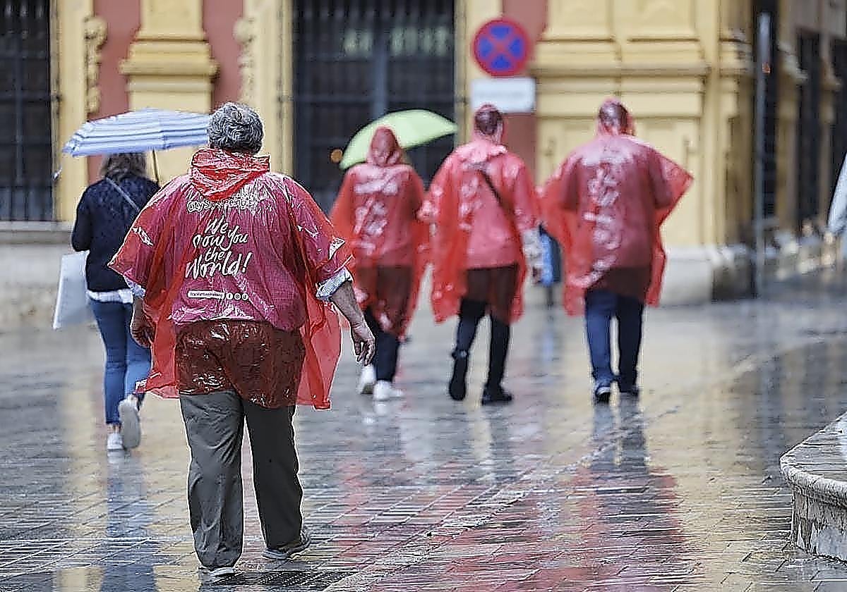
The Aemet state weather agency has raised the probability of showers from Saturday onwards to 95 per cent

Málaga
Fine weather will continue to prevail over the next few days across most of Spain, apart from a few showers forecast for parts of the ... Mediterranean area, which could be heavy in places.
In Malaga province, the stable weather will continue until Friday, with high maximum temperatures remaining above 28C. However, as we reach the middle of October, the weather could change.
The Aemet state weather agency has forecast a sharp weather change for this weekend. Its models indicate a very high probability of showers from Saturday onwards, with a 95 per cent probability for Malaga city.
"Based on the information currently available, a 'dana' originating from high latitudes is likely to reach Spain. On the one hand, this will lead to a marked drop in temperatures across the country, even falling below the seasonal average on Saturday and Sunday. On the other hand, atmospheric instability will increase, with showers that could be heavy in the Mediterranean area of the mainland and the Balearic Islands, particularly from Sunday onwards," Aemet spokesperson Rubén del Campo said.
Local weather expert José Luis Escudero added: "The vast majority of weather models predict the formation of a powerful high-pressure system around the British Isles from Friday night onwards. This could favour the arrival of a retrograde trough, with cold air at high altitudes, which would eventually become isolated from the general circulation and give rise to a dana."
A phenomenon that is complex to model
Escudero, however, reminded that such phenomena "are particularly complex to model".
"Small variations in the position of the high-pressure system or in the path of the cold air at high altitude can lead to significant changes in how the situation develops. For this reason, we are currently seeing scenarios that differ quite significantly from one another. Some models predict marked instability, with abundant cold air at high altitudes, while others suggest a less deep low-pressure system and, therefore, more limited potential for instability," Escudero wrote on his blog.
What might happen in Malaga province? As Escudero pointed out, this type of atmospheric pattern has in the past led to episodes of heavy rain in certain areas of the province. "It will all depend on its final position, the amount of cold air at high altitudes, the available moisture and how the atmospheric instability develops," he stated.
Too many ingredients in the mix. We'll have to keep a close eye on how the models refine their forecasts over the coming days.
![[]](http://static.vocstatic.com/voc26/latest/assets/images/favicon/surinenglish/apple-touch-icon-57x57.png)