
Weather
Another subtropical storm heads for Malaga: up to 100mm of rain expected on Wednesday
The new weather system, named Charles, is set to bring the heaviest rainfall to the Serranía de Ronda and the western Costa del Sol
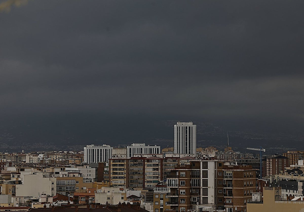

Málaga
A subtropical storm is expected to hit Spain on Wednesday and affect parts of the province of Malaga. Total rainfall could reach up to 100mm ... in just one day.
“This storm, which has now formed, is small in size; it is heading first towards the Canary Islands and will then affect the south-west of the mainland, in the area of the Gulf of Cádiz,” explained Juan de Dios del Pino, regional representative of the State Meteorological Agency (Aemet) for Andalucía, Ceuta and Melilla.
The first notable feature is that it will bring strong winds; but it also brings another new development, namely much higher humidity, as is typical of this type of storm, which travels from the south, where it picks up more moisture than in the North Atlantic. And that is why it will carry a greater amount of water.
The new cyclone will bring strong winds and higher humidity levels than the current storm Bruna
“There is a new development, as some people are comparing it to Storm Bernard (which was also a subtropical cyclone that crossed the Iberian Peninsula on 22 October 2023 and caused severe flooding, particularly in Andalucía). However, Del Pino says that the new storm will encounter Storm Bruna upon reaching Spain, and "this may cause it to be drawn a little further towards the north of Andalucía".
Consequently, its impact will be felt mainly in the regions of Castilla and Extremadura. However, the meteorologist states that it will also affect Andalucía, particularly areas of the Sierra de Aracena and northern Seville, where it is likely to bring “significant rainfall”, which could reach 100mm in 24 hours.
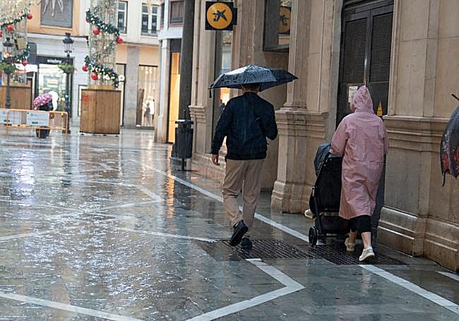
Rain warning in Malaga
The influence of Charles will also reach Malaga, particularly in parts of the upper Guadalhorce Valley, Guadalteba and the westernmost Costa del Sol, where there may also be a fair amount of rainfall. However, in the case of Malaga, the meteorologist is taking a cautious approach: "We’ll have to see how it develops because these kinds of storms, which are so small and so far away, are tricky to predict; we need to be very precise," and he adds: “We cannot rule out the possibility that, due to the convergence between the storm’s winds and the easterly winds in that area, there may be an increase in rainfall and precipitation may fall.”
Based on current models, the forecast is for around 100mm to fall over the 24 hours of this Wednesday, although only in specific areas. Should it be classified as a high-impact storm, it will be named Charles, as christened on Monday by the Portuguese meteorological service.
Amber warning
For the time being, with many hours still to go before it arrives, Aemet has already issued warnings of very heavy rain in the province for this Wednesday. The area at greatest risk will be the Serranía de Ronda (amber warning), where more than 80mm could fall over a twelve-hour period throughout the day. Meanwhile, on the Costa del Sol, a yellow warning is in place due to the possibility of rainfall totals reaching 60mm, particularly in the westernmost part (Marbella-Estepona-Manilva).
For the rest of the province, the weather agency has not yet issued warnings, although this cannot be ruled out, depending on how the new subtropical cyclone develops and the path it takes as it moves across the peninsula.
