Following the track of an old railway line in Almeria
The photogenic hiking or cycling route, one of nine such Vías Verdes in Andalucía, takes less than a day to cover and will eventually go as far as the coast
Marcus Krähnke
Almeria
Friday, 16 August 2024, 15:07
Hiking or cycling along a disused railway line is now possible on routes totalling more than 3,000 kilometres across Spain. Due to their original purpose, the paths known as Vías Verdes (green ways) are generally wide and have relatively gentle gradients, which is why they are especially suitable for the inexperienced and in some cases even for people with limited mobility.
Located in the province of Almeria, the Vía Verde de Lucainena de las Torres is around 15.5 kilometres long and covers a difference in altitude of around 300 metres, making it less than a day’s walk for hikers and less than an hour’s ride for cyclists - provided you take the downhill route from Lucainena to Venta del Pobre.

However, very few excursionists are out to set a speed record, but rather enjoy the countryside, so cyclists should allow several hours. It is also recommended to avoid the midday hours, especially in summer, or plan the trip for late summer or early autumn, as there is hardly any shade along the route.
From mountains to coast
This ‘green way’ runs through the heart of the Sierra Alhamilla and was operated as a railway line between 1896 and 1942 by the Compañía Minera Sierra Alhamilla and from 1931 by the Spanish government. It was used to transport raw materials and products from the mines to the coastal town of Agua Amarga, 36 kilometres away; the minerals were then loaded onto ships to be transported.
The company made good profits until the end of the first world war, but was then hit by the crisis in the iron industry. After the Spanish Civil War, the railway line underwent another major overhaul, but only a short time later the operators realised that the mines were exhausted - in 1942, operations were shut down completely and all metal elements (rails, bridges, etc.) were dismantled.
Currently the stretch of Vía Verde open to the public stops at Venta del Pobre, some 20 kilometres inland from Agua Amarga, although the route is due to be extended in the coming years. The 15.5 kilometres that can be used so far are basically made up of three sections, each around five kilometres long.
Up to Cortijo las Tejas, just past Rambla Honda, the path is designed as a hiking and cycling trail; from there to Puente del Molinillo, a little more caution is called for, as this section is also open to normal road traffic (although the volume of vehicles is very low).
The last stage is then once again purely a hiking and cycling trail.
Lucainena de las Torres has been part of the Los Pueblos Más Bonitos de España (The most beautiful villages in Spain) network since 2013 and is worth a visit in itself. It is a white village typical of the region with just under 600 inhabitants and a wonderful view over large parts of the sierra.
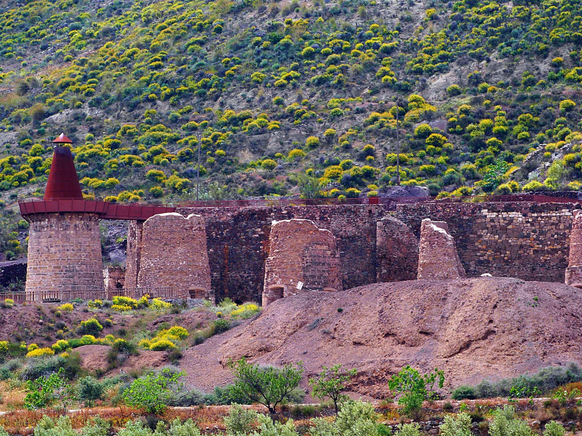
The ceramics museum and eight lime kilns, which are located just outside the village and are very well preserved, are particularly worth a visit.
For a short trip, it is a good idea to only walk the first section of the Vía Verde there and back and spend the afternoon in Lucainena.
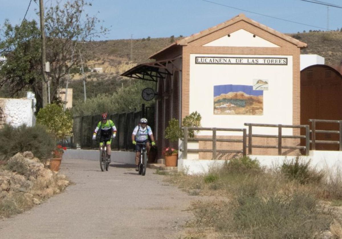
This first part starts right at the entrance to the village. There, at the small train station, you will also find an information stand and the opportunity to hire bicycles - but only by prior arrangement.
The path leads gently downhill past various orchards and vegetable gardens and a few holiday homes and a look back offers a wonderful panorama of the village with the mountains in the background.
At the sewage treatment plant, you may need to hold your breath for a moment - but you can soon breathe freely again.
To the left of the path, you can see a mostly dry riverbed, but it is worth taking a closer look, as there are several partridge colonies hidden in the bushes, among other animal species. Larks and ravens are also frequently seen. On the slopes to the right of the path, with a bit of luck, you might spot an ibex.
After about 2.5 kilometres, a rest area with benches under shady vegetation and a drinking fountain invites you to take a break.
The surrounding area is characterised by olive groves and esparto grass; it is noticeable that the landscape becomes increasingly dry.
At the top of the Rambla Honda, you will see an abandoned-looking hamlet, El Saltador, on the left, followed shortly afterwards by the Cortijo de las Tejas with the ruins of a former water mill surrounded by lofty palm trees.
A little traffic
This is where the Vía Verde meets the public road. There is hardly any real traffic there, but the road is very narrow, so you have to be aware of oncoming vehicles. At the height of the Puente de la Rafaela, the route then briefly descends into the (naturally dry) river bed - the bridge, which was stripped of all its metal elements when the railway line was closed, is currently being restored; until then, this small descent and ascent is worth the effort.
Soon afterwards, the route, which runs to the left of the riverbed from the bridge, leads through the only tunnel on this Vía Verde, which is just over 80 metres long and has LED lighting that switches on automatically as you pass through. In the tunnel itself, it is worth taking a look upwards, as many birds nest there.

After the tunnel, the landscape becomes increasingly rocky and rugged and a little care is required, as the path descends steeply towards the riverbed.
The Puente del Molinillo bridge, which was rebuilt on the original pillars in 2019/2020 (its name comes from a water mill that once existed nearby), is an imposing steel and timber construction. The bridge takes the path across the riverbed and marks the end of the section shared by cyclists and hikers on one side and motorised traffic on the other.
While motorised vehicles are directed into the riverbed, excursionists can enjoy the spectacular view over the dry gorge.
Ibex cross the path
Further on, the trail initially climbs to the right, which is why cyclists in particular need to be careful, as ibex can suddenly cross the path in front of you (this is what happened to us).
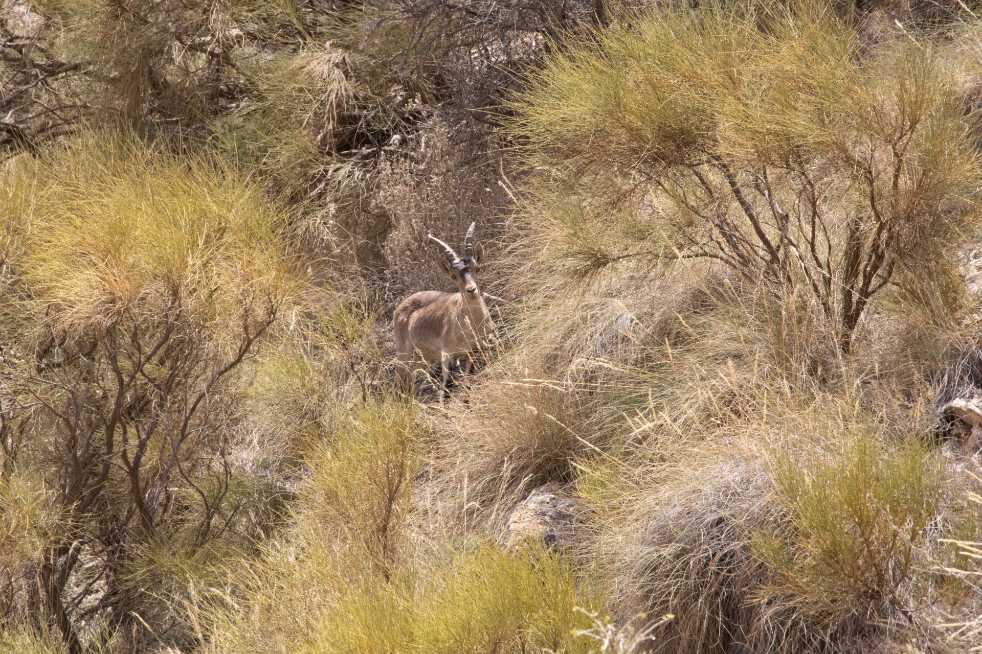
About one and a half kilometres after the Molinillo bridge, the route crosses a wooden footbridge and the terrain becomes more open. The last few kilometres to the Venta del Pobre pass between fields and farmland, greenhouses and water reservoirs; this final section is also the one with the steepest gradient.
The Venta del Pobre is a bar and rest stop right on the A-7, known for its cuisine - after successfully completing the route, most people will appreciate a good foodie end to the tour.
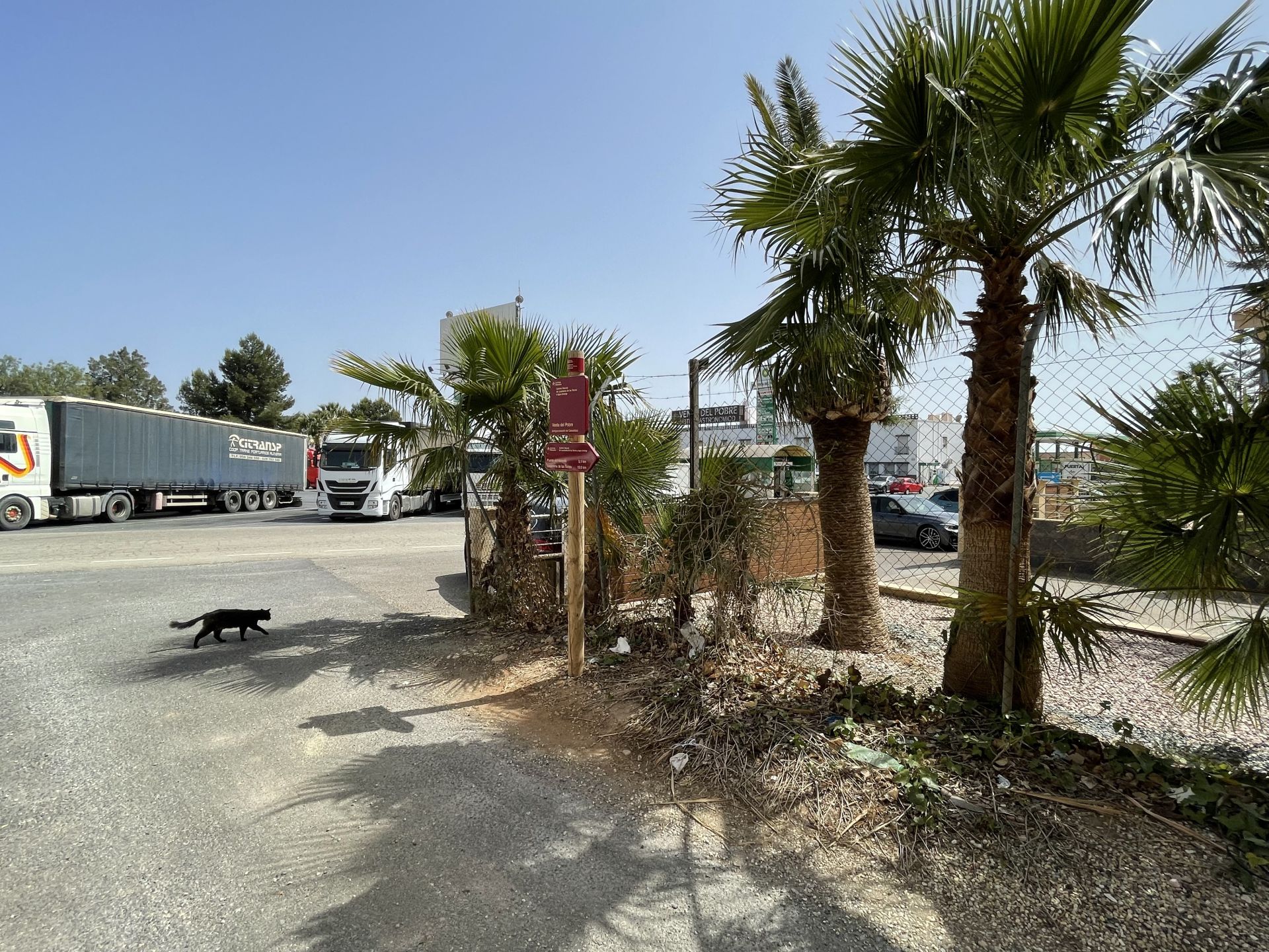
Transfer point in Agua Amarga
If you have a vehicle at this rest area beforehand and are in the mood to see more, a drive down to the point in Agua Amarga where the minerals were transferred from train to boat completes the day trip.
From Venta del Pobre, take the N-341 (on the other side of the A-7) towards Carboneras and after a few kilometres turn onto the AL-5106 to Agua Amarga. Once there, drive northeast out of the town in the direction of Carboneras; after a few kilometres you will reach the ruins of the loading site, which are located on a cliff east of the town.
