Weather
Andalucía weather: storm brings rain, haze and sharp drop in temperatures
The province of Cadiz is under a yellow alert for strong winds and coastal phenomena on Monday
Almudena Nogués
Malaga
Andalucía enjoyed great weather during Holy Week, which ended on Sunday with temperatures hovering around 30C, clear skies and almost summer-like conditions.
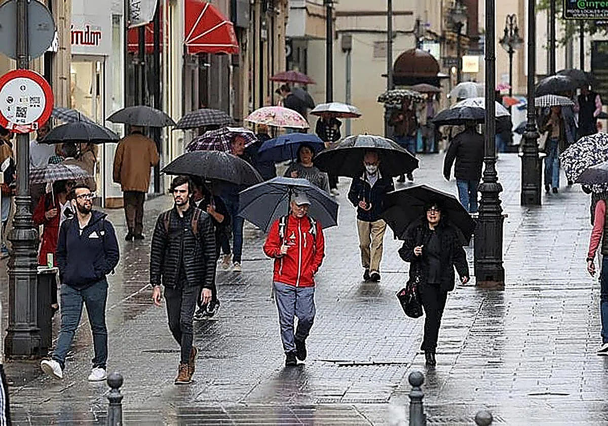
As is typical in spring, however, the weather will drastically change this week, with the stable conditions giving way to new rain, storms, the arrival of Saharan dust in the form of haze and a much cooler atmosphere. Temperatures will potentially drop by 12C by mid-week.
The culprit behind this shift is a cold low-pressure system that will settle south-west of mainland Spain, bringing humidity, cold air and some suspended dust during the first few days of the week. "Starting this afternoon, haze will become more prevalent across most of Andalucía and will remain with us until Tuesday night. It will offer a respite during the early hours of Wednesday and the first part of the afternoon, but will return to the forefront late Wednesday and Thursday," Malaga weather expert José Luis Escudero warns on his blog Tormentas y rayos.
"Rainfall is expected in the second half of today [Monday] due to the approach of an Atlantic front," weather portal Meteored says. In Andalucía, showers are most likely in Seville and Huelva. Mud and occasional thunderstorms could accompany them.
Additionally, Cadiz will be under a yellow warning for strong winds (70-80km/h) and coastal phenomena until 6pm on Monday. State meteorological agency Aemet forecasts winds of 50 to 61km/h, along the coast, west of Tarifa and offshore south of Trafalgar.
Aemet's forecast for 6 April indicates partly cloudy skies becoming cloudier from west to east starting in the morning, with a chance of light rain in the western third of the region from the afternoon onwards. Maximum temperatures will also decrease in the far west. According to Aemet, in Seville, Cordoba and Granada, the drop could be as much as 12C starting Wednesday.
"This Tuesday, a front associated with the low-pressure system will bring rain to western Andalucía. From midday onwards, the frontal system will strengthen across the western half of mainland Spain, potentially generating locally heavy downpours and thunderstorms. On Wednesday, the centre of the low-pressure system will be located off the south-west coast of Portugal, with the front remaining practically stationary and the heaviest rainfall concentrated in central Andalucía. These downpours may be locally heavy and accompanied by thunderstorms," Meteored says.
Aemet's forecast for Wednesday in Andalucía indicates "intervals of cloudy skies in the western third, where precipitation is possible". Minimum temperatures will continue falling, with light to moderate easterly winds in the eastern third and light variable winds elsewhere. Maximum temperatures will range from 16C in Jaén to 23C in Almeria.
From Thursday onwards, the unstable weather will subside. Aemet is forecasting only a few showers in the region from midday onwards.
There is still uncertainty regarding the possibility of rain and 'danas' over the weekend.