
Weather
Unsettled end to August as fresh storm hits parts of Andalucía
Shower fronts and airborne Saharan dust could trigger 'mud rain' before higher pressure restores late-summer sun

Málaga
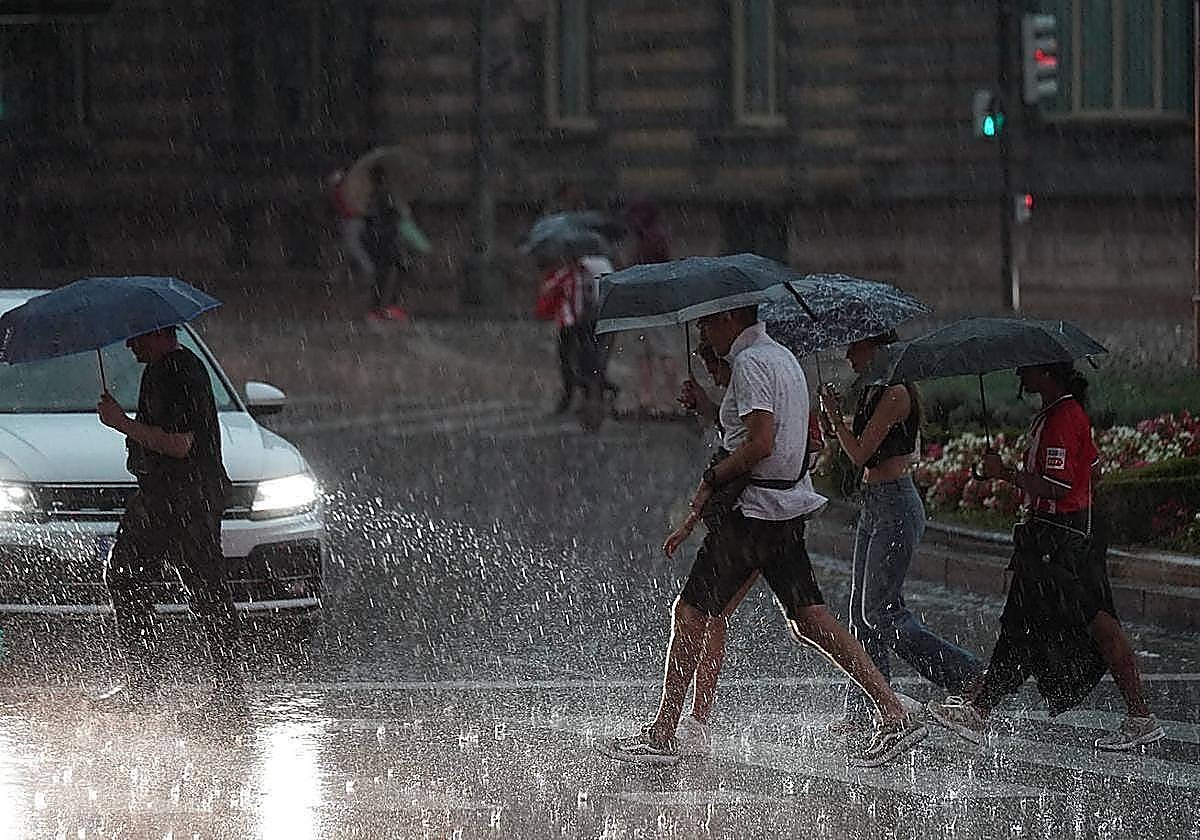
The last week of August and of the meteorological summer will bring a radical change in the weather in Spain, including Andalucía.
Regional spokesperson for ... the Aemet state meteorological agency Juan de Dios del Pino warned that a new storm would hit the region from Wednesday onwards.
The forecast initially suggests it will be less intense than the one on Monday, which originated in the north-west of Galicia and brought rainfall mainly in the western part of Andalucía.
"Atlantic weather patterns (...) will bring several storm fronts moving in from the Atlantic over the coming days," weather portal Meteored forecasts.
"A second storm will drift downwards until it reaches the northwestern coast of Galicia between Wednesday and Thursday, bringing colder air, which will keep temperatures on the cooler side across much of the western part of the country. Rainfall is also expected to arrive from the north-west and spread eastwards, where it will be more sporadic," Eltiempo.es agrees.
According to Aemet, the province of Huelva, specifically Aracena and Aroche, will be the hardest hit by the storm on Thursday, although rain cannot be ruled out in the eastern mountain ranges. Del Pino forecasts small amounts of rain, around 1-2mm.
He explained that high pressure will prevail for the rest of the week, with partly cloudy or clear skies. As for the wind, next Thursday could see a return of southwesterly gusts, moderate in the afternoons. Looking ahead to the weekend, the wind could shift to the east, although it will not be strong.
Aemet forecasts partly cloudy skies for the region this Wednesday, "except in the far east at the start and the far west at the end, where occasional showers cannot be ruled out".
It also warns of possible airborne dust in the far east, "where mud deposits may occur". As for minimum temperatures, they will rise in the eastern third of the region and remain unchanged or fall in the rest. Maximum temperatures will fall on the Atlantic side and remain stable or rise on the Mediterranean side.
On Thursday, Aemet forecasts mainly clear skies in the eastern third of the region and cloudy skies elsewhere, where occasional showers and airborne dust could last until 6pm. The coastlines of Cadiz and Huelva and the Aracena and Aroche area are likely to be the most affected.
![[]](http://static.vocstatic.com/voc26/latest/assets/images/favicon/surinenglish/apple-touch-icon-57x57.png)